ArcGIS Velocity is a cloud-native add-on capability for ArcGIS Online that enables users to ingest data from the Internet of Things (IoT) platforms, message brokers, or third-party APIs. Process, visualise, and analyse real-time data feeds; store those feeds as big data; and perform fast queries and analysis. Use this software as a service (SaaS) IoT application to better leverage your real-time spatial data for essential operational decisions such as remote monitoring of assets, predictive maintenance, and process optimisation.
Analyse streaming data in real time
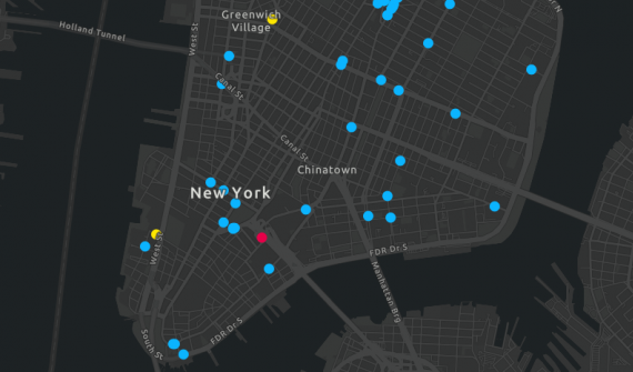
Discover how ArcGIS Velocity makes it easier to consume, visualise, and perform real time analysis of streaming data.
Get real time and big data insights
Integrate real time data
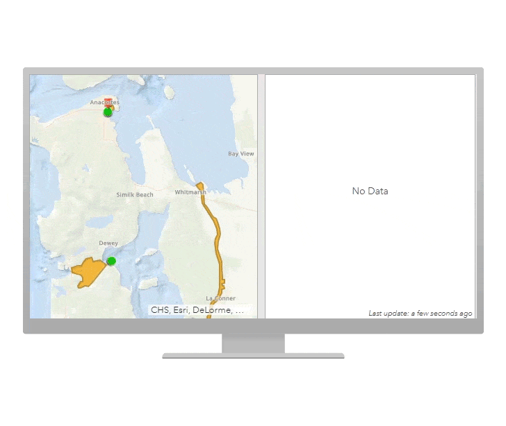
- Ingest data from connected devices by configuring a feed that can be used as a live map layer
- Integrate real-time data with historical data via stream and feature layers to analyse change over time
- Process massive volumes of spatial data at very high speeds with the highly scalable Kubernetes-based architecture of ArcGIS Velocity
Monitor critical assets
- Get precise locations and insights on all of your assets for 24/7 visibility
- Track dynamic assets that are constantly changing location, such as vehicles, aircraft, and vessels
- Track stationary assets, such as weather and environmental monitoring sensors
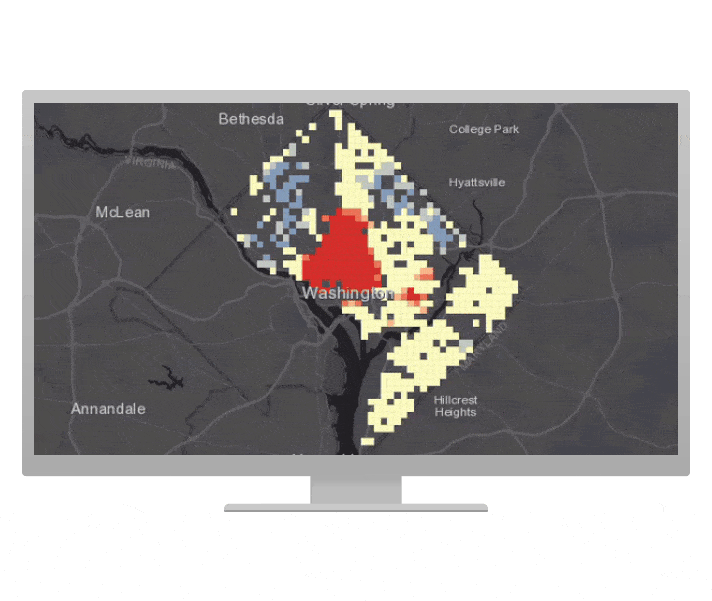
Unlock spatial insights
- Make more informed decisions with IoT spatial intelligence analysis.
- Access a range of powerful real-time and big data tools to analyse information from a variety of data feeds and sources
- Leverage a visual analytic model builder that enables you to design complex analysis and automate workflows, saving time and effort.
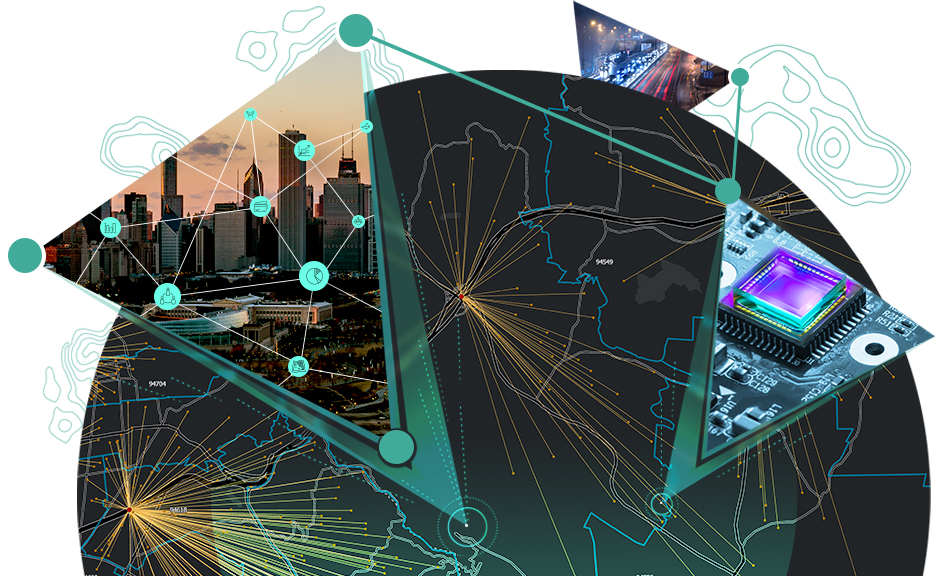
How it works

ArcGIS Velocity is fully integrated with ArcGIS
ArcGIS Velocity is closely integrated with ArcGIS. Getting started is easy - secure a license and access it within ArcGIS Online. Easily connect to and fuse your ArcGIS data with data from other sources. Push results of analytics, whether performed in real time or batch mode, as alerts, or publish them as GIS maps and data services for use across your enterprise. These maps and data layers can be used by any ArcGIS application such as ArcGIS Pro or ArcGIS Insights for additional analysis.