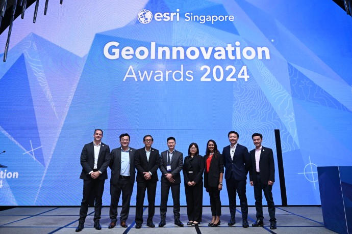
Demonstrating Singapore's commitment to long-term sustainability, the GeoInnovation Awards 2024 served as a dynamic platform showcasing the pivotal role of geospatial technology (GIS) in shaping the nation's future. With over 110 participants in attendance, the event with the theme, “Creating the world we want to live in”, facilitated vibrant exchanges of ideas and knowledge, highlighting cutting-edge geospatial solutions.
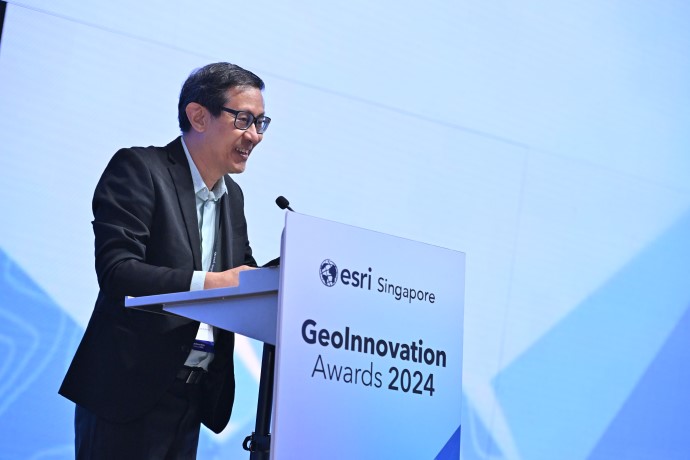
Esri Singapore CEO, Joe Lee, opened the inaugural event, underscoring the fundamental role of location intelligence in shaping our world. He emphasised the integration of GIS into the Environmental, Social and Governance (ESG) frameworks, envisioning a more connected and eco-friendlier Singapore. He further highlighted that the event serves as a platform to celebrate organisations' achievements in leveraging GIS technology to make a positive impact.
The keynote address by Dr Victor Khoo, Deputy Director of Survey & Geomatics, Singapore Land Authority (SLA), delved deeper into the need for a Future Geospatial Information Ecosystem, Dr Khoo shared the global perspective of United Nations Geospatial Information Management and how global frameworks can be used to address unique challenges facing Singapore as a city state, aligning with the Smart Nation initiative. His insights illuminated the transformative potential of GIS in fostering a sustainable and resilient future.
The GeoInnovation Awards spotlighted award-winning, forward-thinking geospatial solutions from organisations such as SLA and SingHealth Community Hospitals (SCH), the Public Utilities Board (PUB), Jurong Port Singapore (JP), and the Urban Redevelopment Authority (URA).
SLA and SingHealth Community Hospitals
During their presentation, Mr Lee Weijian, Principal Manager, Geospatial & Survey Division, Singapore Land Authority (SLA), and Ms Adeline Kwan, Assistant Director, Office of Community Engagement and Education, SingHealth Community Hospitals (SCH), unveiled a collaborative project showcasing innovative geospatial solutions in preventive healthcare delivery. Their project harnessed geospatial technology to develop a dynamic asset map that pinpoints health-related community resources and wellness activities specifically tailored for seniors. This user-friendly map empowers social prescription practitioners to efficiently identify suitable resources like senior centres, activity groups, and other helpful programmes, streamlining the social prescribing process.
The impact of geospatial to enable effective social prescribing extends beyond improved efficiency. By connecting seniors with relevant activities and resources in their neighbourhoods, the practice fosters social engagement, reduces isolation, and can lead to better health outcomes. This, in turn, contributes to a more robust healthcare ecosystem while promoting healthy ageing.
Jurong Port Singapore
Ms Cynthia Mark Mohan, Assistant Vice President and Head of Digitalisation at JP elaborated on JP Glass, a digital platform (iPORT), empowering decision-makers with actionable insights for enhanced port management. Serving as the cornerstone of JP's digital journey, this platform integrates digital twin technology with data derived from web/mobile applications, the Internet of Things (IoT) and artificial intelligence (AI) for comprehensive digital adoption. It optimises operations by offering a real-time, data-driven overview of port activities and resources, facilitating proactive management, planning, and analysis. This approach not only saves time but also reduces a reliance on manual updates, ultimately contributing to a more efficient and environment-friendly port operation system.
PUB, Singapore’s National Water Agency
PUB Water Quality Department’s Deputy Director, Ms Chang Siao Yun, and Assistant Director, Ms Yang Yixin, presented their project, "Digital Solutions for Safer Water”, that streamlines water quality sampling through Water Quality Sampling System (WQSS). This mobile app empowers field officers with efficient tracking of assigned tasks and data collection, with seamless transmission to the Laboratory Information Management System (LIMS), eliminating manual entry errors. Leveraging location intelligence and on-site labelling, WQSS ensures real-time updates of onsite water quality data, accuracy and enhances the data validation process, significantly reducing paperwork and boosting operational efficiency for a sustainable water quality management.
Urban Redevelopment Authority
URA’s Deputy Director of the Design & Planning Lab, Julian Cheng provided insights into how the organisation leverages 3D technologies to advance urban planning and design to better optimise the nation’s limited land to meet the needs and aspirations of Singaporeans. The Integrated 3D system of record on ePlanner, a web-based geospatial platform, enables over 1,600 government officers, including planners and architects, to seamlessly access and analyse both 2D and 3D geospatial data for various urban planning and design work. By streamlining processes and reducing reliance on multiple software, ePlanner has empowered officers to collaborate and make informed decisions more effectively and efficiently.
Ms. Sharon Gin, Senior Manager of Solution Consulting at Esri Singapore, recognised as one of Singapore’s 100 Women in Tech in 2021, highlighted the growing importance of location intelligence and geospatial technology in addressing global trends like environmental challenges, enhancing operational efficiency, and fostering community engagement. Her presentation explored how Esri’s ArcGIS platform empowers users with AI, real-time data analysis, spatial analysis and 3D digital twin creation to make data-driven decisions for a more sustainable and interconnected future.
The GeoInnovation Awards 2024 culminated in a panel discussion featuring the award winners and guest speakers, exploring how modern GIS tools can underpin Singapore's sustainable future. From optimising healthcare delivery to streamlining port operations and water management, these projects showcase how GIS can build a more resilient and thriving nation. The event also serves as a springboard for the wider adoption of GIS solutions across industries, paving the way for a smarter and more sustainable future for Singapore.
In his closing remarks, Leslie Wong, Esri South Asia’s Managing Director, highlighted that the event showcased the inspirational work of the GIS professionals, and the dedicated partnership between Esri Singapore’s GIS specialists. Their collaboration, built on deep respect and a shared vision, has yielded innovative location intelligence platforms that set a high bar and contribute to creating the world we want to live in.
If you would like more details or to have any questions answered by the media team, contact Martin Volz, Senior PR and Communications Advisor.