Book your seat to a free, in-person session of your choice and get hands on with ArcGIS tools. Explore new capabilities and learn how to make the most of your data.
Upcoming sessions
- Managing indoor facilities with ArcGIS Indoors
ArcGIS Indoors is a complete system for indoor mapping that allows you to create, customise, and share smart building maps and location data - providing a better understanding and making it easier to navigate, manage and use the built environment.
Dates: No scheduled sessions
Time: 2:00 - 5:00 pm
Venue: 29 Media Circle, Alice @ Mediapolis, #08-01, North Lobby
In this session, you will learn more about:
ArcGIS Indoors Fundamentals
- Explore core capabilities of ArcGIS Indoors
Enabling the workplace with ArcGIS Indoors
- Import CAD drawings or BIM files on ArcGIS Pro for data preparation
- Explore ArcGIS Indoors toolbox to create an indoor dataset
- Share floor-aware maps to organization
Visualising places, assets and people with an interactive indoor workplace map
- Prepare a map and a scene for ArcGIS Indoor Viewer
- Explore and filter floor-aware maps on ArcGIS Indoors Viewer
- Manage available spaces
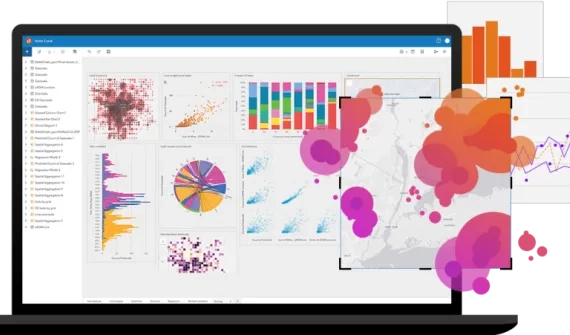
- Interactive spatial analytics with ArcGIS Insights
ArcGIS Insights fuses location analytics with data science and business intelligence workflows enabling you to answer questions you didn’t know to ask by analysing data, and unlocking new insights to enhance decision-making.
Dates: No scheduled sessions
Time: 2:00 - 5:00 pm
Venue: 460 Alexandra Road, mTower, #07-01, Singapore 119963
In this session, you will learn how to:
Perform powerful analysis:
An intuitive environment for advanced spatial and non-spatial analysis
Answer-finding tools: select from a list of common questions to find the right tool for your data and workflow in three clicks or less
-
Drag and drop functionality for rapid visualisation and analysis
-
Analyse data from multiple sources
-
Integrate disparate location and business data
-
Connect to spatial and non-spatial data from ArcGIS, relational databases, cloud data warehouses, and spreadsheets—all in a single environment
-
Map location values — addresses, coordinates, lines, and boundaries—for a new understanding of your data
-
Access and analyse information relevant to your work
Gain new insight into your data
-
Transform complex datasets into manageable information
-
Better understand your data to make more informed decisions
-
Apply exploratory analysis techniques to quickly uncover trends and correlations
-
Use spatial, statistical, and link analysis tools to evaluate complex patterns and relationships
-
Aggregate data on a map, reveal hot spots and outliers, join data spatially, and show relationships between people, places, and events
Share findings and results
-
Communicate analysis results and share your findings
-
Publish interactive reports that combine data with text, links, images, videos, and your branding
-
Embed analysis results into other systems
-
Record every step of your analysis and share data and workflows with others
-
Create repeatable analysis processes that save time and effort
-