You are here News and events Blogs & podcasts Esri Singapore blog Esri Singapore blog From insight to action: What we learnt at Esri UC 2026 Explore five key lessons from Esri UC 2026, from AI and operational intelligence to digital twins, trusted adoption and practical ArcGIS improvements. Learn more From ambition to action: Sustainability insights from Esri UC 2026 Explore five sustainability insights from Esri UC 2026, from observing environmental change and strengthening resilience to using living digital twins and trusted AI. Learn more AI in GIS: 5 takeaways from Esri UC 2026 Here are five takeaways from Esri UC 2026 for organisations exploring AI in GIS. Learn more Why Singapore's critical networks need spatial intelligence now Discover how spatial intelligence, predictive analytics and targeted GeoAI applications can help Singapore organisations anticipate disruption and strengthen critical networks. Learn more Esri Singapore achieves ISO/IEC 27001 certification Certification provides recognised assurance that client and partner information security is managed through a robust, internationally recognised framework. Learn more From fitness coaching to GIS mapping See how investing in GIS training helped turn curiosity into a career. Learn more Imagery and remote sensing for accuracy and better decision-making Unlock the potential of satellite and drone imagery combined with AI to improve urban planning, infrastructure management, and emergency response. Learn more ArcGIS Enterprise 11.5: Prepare for version 12 Stay ahead by learning what’s new in ArcGIS Enterprise 11.5 and prepare your upgrade with ease. Learn more Exclusive SEAB interview: Exploring digital twin technology in architecture and construction Discover how digital twin technology is transforming architecture and construction by creating virtual replicas of real-world environments. This article highlights its role in enhancing design accuracy, collaboration, and sustainability, with insights from Joe Lee, CEO of Esri Singapore. Learn more Transforming urban planning The URA's Design & Planning Lab, honored with national and global GIS awards, integrating 3D technology, offering seamless, data-driven urban planning tools. Learn more JP Glass: A digital twin for Jurong Port Jurong Port's digital twin empowers decision-makers with real-time insights to drive doubling of its cargo throughput. Learn more ArcGIS user types: What you need to know The June 2024 ArcGIS Online update introduced several new features and capabilities, most importantly, the new user type licencing model that streamlines administration workflows and expands current user roles. Learn more Building community resilience, effective emergency response An emergency management operation combines real-time situational awareness, data-driven decision-making, and streamlined communication to respond to disaster. Learn more Facilitating a flexible workforce with Cloud GIS Learn how Australia's leading natural gas provider - Woodside Energy - transitioned from desktop to Cloud to enable improved stability, enhanced user experience and scalability for the future. Learn more Charting the course towards a data-driven maritime industry Discover how the Maritime and Port Authority is using geospatial technology to create a sustainable marine space for Singapore. Learn more Driving an Enterprise GIS with strategic rebranding How rebranding job titles and department names can help you change your image from mapmaker to enterprise IT solution provider. Learn more Navigating the path from GIS manager to GIS leader Over the last 10 years, the role of GIS manager has transformed from managing a team of GIS practitioners to an enterprise IT system leader enabling others to use GIS to make better decisions. Learn more A business guide to AI and location intelligence Business executives, pressed to deliver on strategic goals like market growth and risk mitigation, find important context in combining artificial intelligence with location intelligence technology. Learn more Digitalising navigational charts for safety NOAA is leading the world in phasing out paper charts, embracing the advantages of Electronic Navigational Charts. Learn more Coronavirus: What you need to know Esri's Chief Medical Officer - Dr. Este Geraghty - shares a collection of the most up-to-date and authoritative resources on COVID-19 to help you stay informed and prepared during this emergency. Learn more What the world's smartest cities all have in common Discover how location intelligence is used to make data-driven decisions and plan long-term improvements that benefit residents. Learn more 6 reasons AEC projects need GIS-BIM integration Cardno shares how GIS-BIM integration is optimising AEC designs, accelerating project approvals and reducing infrastructure development costs. Learn more
From insight to action: What we learnt at Esri UC 2026 Explore five key lessons from Esri UC 2026, from AI and operational intelligence to digital twins, trusted adoption and practical ArcGIS improvements. Learn more
From ambition to action: Sustainability insights from Esri UC 2026 Explore five sustainability insights from Esri UC 2026, from observing environmental change and strengthening resilience to using living digital twins and trusted AI. Learn more
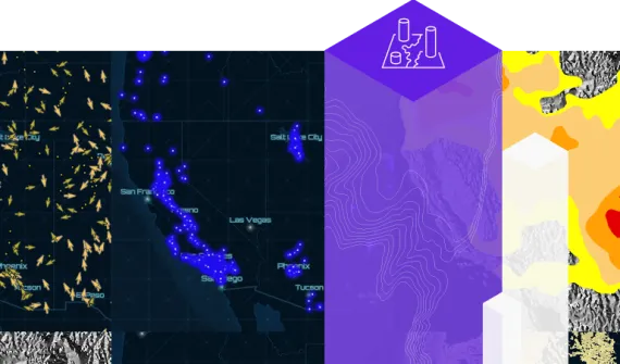
AI in GIS: 5 takeaways from Esri UC 2026 Here are five takeaways from Esri UC 2026 for organisations exploring AI in GIS. Learn more
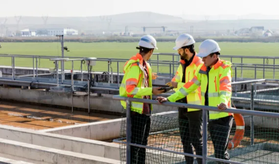
Why Singapore's critical networks need spatial intelligence now Discover how spatial intelligence, predictive analytics and targeted GeoAI applications can help Singapore organisations anticipate disruption and strengthen critical networks. Learn more
Esri Singapore achieves ISO/IEC 27001 certification Certification provides recognised assurance that client and partner information security is managed through a robust, internationally recognised framework. Learn more
From fitness coaching to GIS mapping See how investing in GIS training helped turn curiosity into a career. Learn more
Imagery and remote sensing for accuracy and better decision-making Unlock the potential of satellite and drone imagery combined with AI to improve urban planning, infrastructure management, and emergency response. Learn more
ArcGIS Enterprise 11.5: Prepare for version 12 Stay ahead by learning what’s new in ArcGIS Enterprise 11.5 and prepare your upgrade with ease. Learn more
Exclusive SEAB interview: Exploring digital twin technology in architecture and construction Discover how digital twin technology is transforming architecture and construction by creating virtual replicas of real-world environments. This article highlights its role in enhancing design accuracy, collaboration, and sustainability, with insights from Joe Lee, CEO of Esri Singapore. Learn more
Transforming urban planning The URA's Design & Planning Lab, honored with national and global GIS awards, integrating 3D technology, offering seamless, data-driven urban planning tools. Learn more
JP Glass: A digital twin for Jurong Port Jurong Port's digital twin empowers decision-makers with real-time insights to drive doubling of its cargo throughput. Learn more
ArcGIS user types: What you need to know The June 2024 ArcGIS Online update introduced several new features and capabilities, most importantly, the new user type licencing model that streamlines administration workflows and expands current user roles. Learn more
Building community resilience, effective emergency response An emergency management operation combines real-time situational awareness, data-driven decision-making, and streamlined communication to respond to disaster. Learn more
Facilitating a flexible workforce with Cloud GIS Learn how Australia's leading natural gas provider - Woodside Energy - transitioned from desktop to Cloud to enable improved stability, enhanced user experience and scalability for the future. Learn more
Charting the course towards a data-driven maritime industry Discover how the Maritime and Port Authority is using geospatial technology to create a sustainable marine space for Singapore. Learn more
Driving an Enterprise GIS with strategic rebranding How rebranding job titles and department names can help you change your image from mapmaker to enterprise IT solution provider. Learn more
Navigating the path from GIS manager to GIS leader Over the last 10 years, the role of GIS manager has transformed from managing a team of GIS practitioners to an enterprise IT system leader enabling others to use GIS to make better decisions. Learn more
A business guide to AI and location intelligence Business executives, pressed to deliver on strategic goals like market growth and risk mitigation, find important context in combining artificial intelligence with location intelligence technology. Learn more
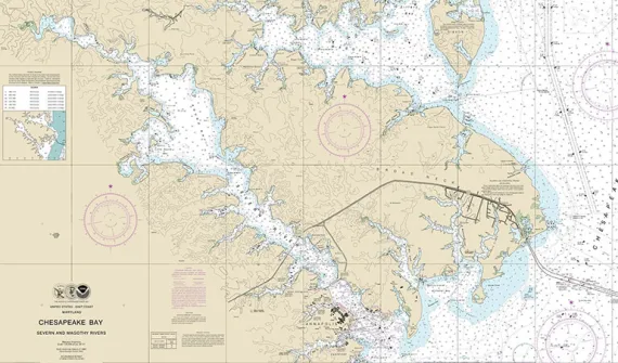
Digitalising navigational charts for safety NOAA is leading the world in phasing out paper charts, embracing the advantages of Electronic Navigational Charts. Learn more
Coronavirus: What you need to know Esri's Chief Medical Officer - Dr. Este Geraghty - shares a collection of the most up-to-date and authoritative resources on COVID-19 to help you stay informed and prepared during this emergency. Learn more
What the world's smartest cities all have in common Discover how location intelligence is used to make data-driven decisions and plan long-term improvements that benefit residents. Learn more
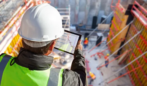
6 reasons AEC projects need GIS-BIM integration Cardno shares how GIS-BIM integration is optimising AEC designs, accelerating project approvals and reducing infrastructure development costs. Learn more