You are here Industries Community Education GIS in education Mapping and spatial analysis enhance learning in schools and aid administrators. Video Education for a brighter future GIS offers students a new way to view the world, giving them tools to interrogate data, explore and visualise real-life issues to find workable, data-driven solutions. More E-book Advancing STEM education with GIS GIS can engage several critical elements in STEM curriculum and instruction because it is well suited to driving problem-based learning. More To learn more about GIS in education, send us an email or call 6742 8622 to speak to an Esri Singapore specialist. Article Singapore Is building a nation of young spatial thinkers A GIS platform that combines desktop, web, and mobile GIS apps is helping students across Singapore develop their spatial thinking skills. More Resource Learn ArcGIS: A learning and resource platform Gain access to guided lessons on using GIS to solve real-world problems in industries such as urban planning and disaster response. More News Smart mapping takes STEM to new heights Kranji School students use smart mapping technology to pinpoint what makes Kampong Glam a tourist destination. More
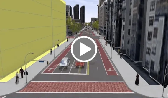
Video Education for a brighter future GIS offers students a new way to view the world, giving them tools to interrogate data, explore and visualise real-life issues to find workable, data-driven solutions. More
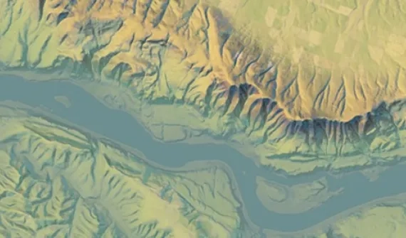
E-book Advancing STEM education with GIS GIS can engage several critical elements in STEM curriculum and instruction because it is well suited to driving problem-based learning. More
Article Singapore Is building a nation of young spatial thinkers A GIS platform that combines desktop, web, and mobile GIS apps is helping students across Singapore develop their spatial thinking skills. More
Resource Learn ArcGIS: A learning and resource platform Gain access to guided lessons on using GIS to solve real-world problems in industries such as urban planning and disaster response. More
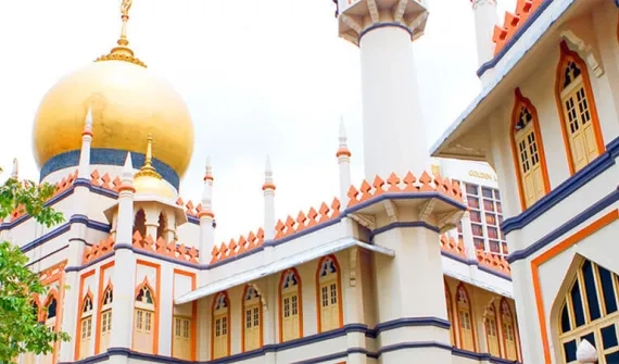
News Smart mapping takes STEM to new heights Kranji School students use smart mapping technology to pinpoint what makes Kampong Glam a tourist destination. More