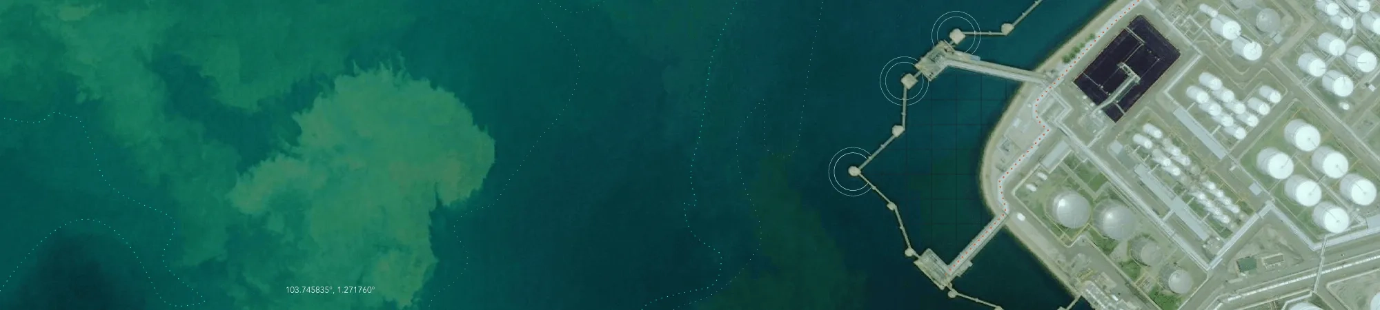
Esri Singapore's GeoBusiness Solutions is a suite of services that will optimise and enhance your CAD for greater productivity and efficiency.
Our service team provides consultations to evaluate and understand your CAD-related business operations, and will recommend a personalised solution best suited for them.
This combination of services includes:

Converting your CAD drawings into digital formats with known geographic coordinates registered in them
Isolating and extracting CAD layers into streamlined and standardised standalone files

Creating an online geodatabase to store, catalogue, and access all converted CAD drawings

Conducting training on the management of the geodatabase

Identifying and defining key features, layers, and data attributes which will support your existing work processes
Developing standardised QA/QC methods and tools for your CAD submissions
In doing so, GeoBusiness Solutions hopes to remove common challenges in managing a growing database of CAD drawings, like:
Unstructured and unstandardised CAD data archives that are difficult to retrieve and interpret for effective operational use
Unaligned links between related CAD drawings due to inconsistent formatting
Inability to plan for materials and resources due to missing height and elevation data in CAD drawings
Missing engineering assets due to incorrect retrieval of CAD drawings or a misinterpretation of CAD features