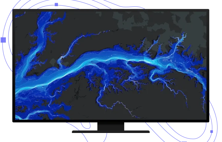
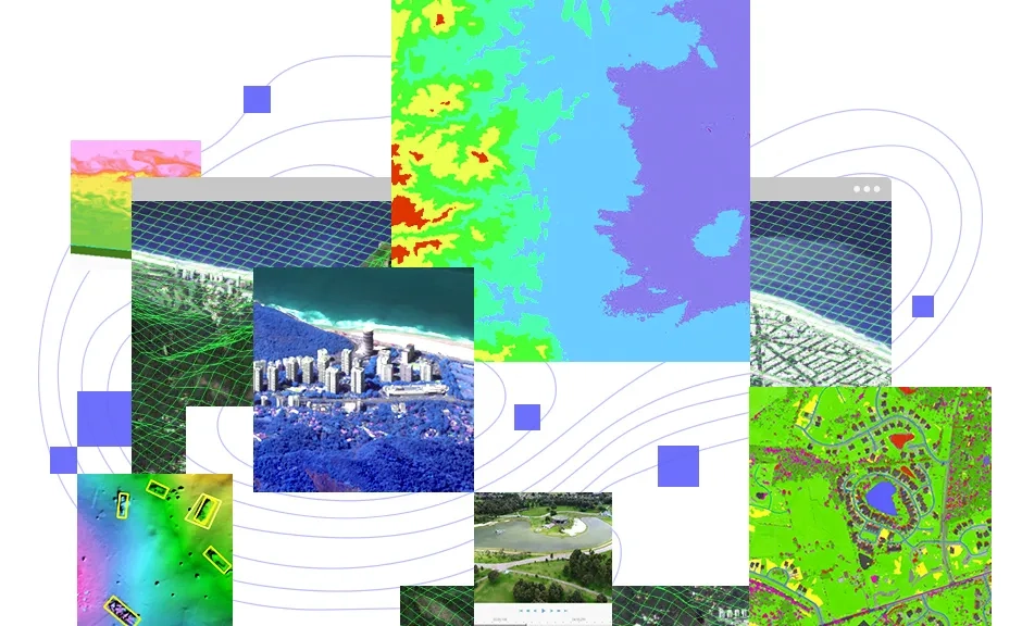
Tools for advanced image interpretation, exploitation, and geospatial analysis on an array of imagery modalities. Automate and speed up workflows such as feature extraction, image classification, multidimensional analysis, and change detection with a robust set of image-based machine and deep learning tools, raster functions, and geoprocessing tools. Benefit from quick analysis results using on-the-fly image processing and raster analytics.
What can you do with ArcGIS Image Analyst?
Quickly manipulate and edit pixels
Interactively modify a pixel or groups of pixels all at once. Editing operations include editing of elevation datasets and multispectral imagery, redaction, noise removal, and reclassification of categorical data.
Watch an introductory video
Get to know the Pixel Editor tool
Real-time image processing and raster analyses
Generate quick image results without creating intermediate datasets using raster functions. Access over 150 raster functions that can be chained together to create several raster processing chains. Your results can be visualised on the fly and persisted, if desired.
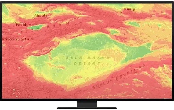
Scale and automate workflows using machine learning and deep learning
Extract more from imagery faster and at scale. Use out-of-the-box machine and deep learning algorithms and enriched classifiers to automate tasks such as feature extraction, feature classification, and object detection.
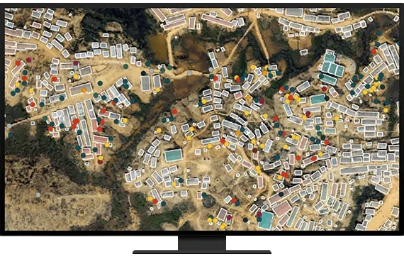
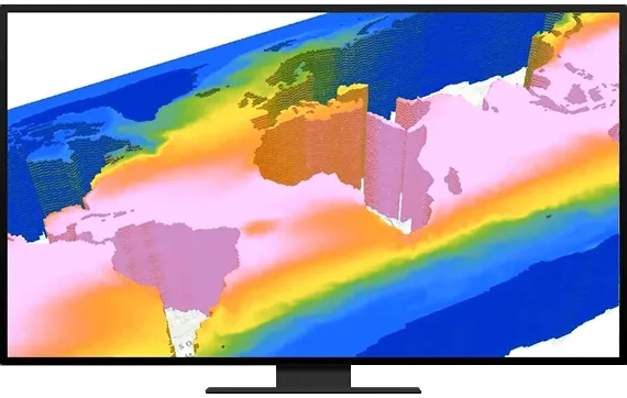
Understand trends and make predictions using multidimensional data
With an intuitive user experience, work with multidimensional data containing multiple variables and dimensions like time and depth. Perform multidimensional analysis such as finding anomalies, analysing trends over time, and performing predictive analysis.
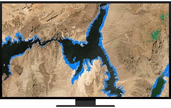
Perform change detection between images
See how regions have changed over time by analysing two images or a collection of time series data. Determine the time of latest change, earliest change, and largest change; magnitude of change; and the number of changes between images.
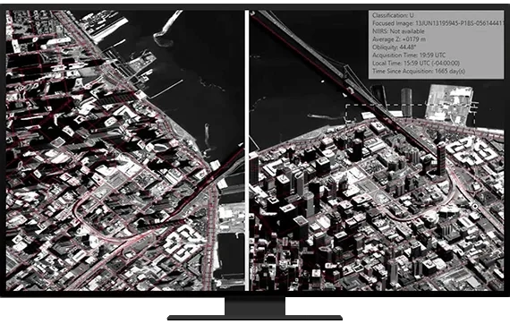
Distortion-free image interpretation
View imagery as collected by the sensor. Improve oblique imagery interpretation, data capture, and image mensuration when map features are displayed in image space. Link image and map spaces to better understand what's happening on the ground.
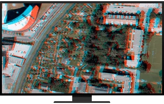
Visualise and capture features in stereo
Accurately distinguish 3D features in satellite, aerial, and drone imagery using stereo viewing capabilities. Collect 3D point, line, and polygon features for various workflows such as creating simple 3D buildings and measuring distances and heights.
Manage and use motion imagery
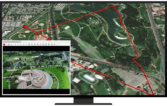
Better manage and interactively use video with embedded geospatial metadata. Extract video frames and related metadata from a video stream to analyse and create reports. Use video for threat analysis, monitoring, wildlife survey, situational awareness, and more.
How ArcGIS Image Analyst works

Need ArcGIS Pro?
To use ArcGIS Image Analyst, you must have an ArcGIS Pro licence. Compatible licences include GIS Professional user types (Basic, Standard, or Advanced) and ArcGIS Desktop (named user, single use, or concurrent use) containing ArcGIS Pro 2.1 or higher.
