With the ongoing pandemic causing many disruptions across countries, maritime authorities continuously face challenges in maintaining their shipping channels – all while developing and planning their sea spaces, and working to address climate change issues at the same time.
In an act of foresight, the Maritime and Port Authority of Singapore (MPA) officially announced GeoSpace-Sea in 2019, that sees a collaboration with 11 other government agencies and institutes of higher learning. It is an initiative designed to help answer current and new challenges in our sea-space – pandemic or otherwise.
GeoSpace-Sea is currently being populated with hydrographic data, coastal data, habitat data, and marine environment data such as coastline details.
But do not be mistaken: GeoSpace-Sea is and will be more than just a database. What’s being created is an elaborate Marine Spatial Data Infrastructure (MSDI) that not only allows its users to access a central repository of data, but enables them to engage with it and one another.
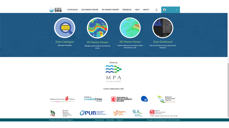
MPA selected an open technology platform that can integrate both maritime and landward spatial data enterprise systems – one that can provide a geospatial infrastructure to manage multiple systems, and to bring its stakeholders together.
A consolidated effort
At a glance, it may be of little surprise to see some of the other agencies involved: The National Parks Board (NParks), National Environment Agency (NEA), and Singapore Food Agency (SFA). Their stakes in maritime planning, coastal water quality monitoring, surveying, conservation, and sustainability seem obvious.
However, the involvement of some of the others may be a little more puzzling, given their association with the development and planning of the built environment – what would the likes of the Housing & Development Board (HDB) and Singapore Land Authority (SLA) need with data from our marine landscape?
The relationships are closer than you’d think. The Building and Construction Authority (BCA) contributes the borehole data in Geospace-Sea, which include those drilled in the sea. Such data would also be useful for other agencies – let’s use HDB as an example: As Singapore’s population continues to grow, so will the need for more land for housing and industry. And should this pursuit of valued real estate come up short, land reclamation works need to be carried out for the construction of new homes.
But it’s not as simple as infilling an area with sand to expand our shores – several maritime considerations need to be made: What are the environmental impacts? How does this affect the balance of existing biodiversity? Will this alter or impede current shipping routes?
If we were to cast our net a little wider, then PUB, Singapore’s National Water Agency, would be involved too – aside from plumbing infrastructure, can our desalination plants and sewerage discharge points cope with the reclamation and ensuing construction?
Connecting the dots
All these answers don’t need to be slowly pieced together like a jigsaw puzzle from scratch – instead, you’re provided the complete picture at your fingertips. These agencies no longer must work separately and individually, as their systems and data are now integrated and fully accessible via one single system – a system of systems.
The Port of Rotterdam has already applied this approach to great success. The biggest port in Europe, it takes around four hours for a ship to sail from one end to another, while other vessels are entering or exiting every six minutes.
A physical expansion would have been ideal to accommodate this monumental volume of traffic, but this option wasn’t on the cards as the port was constrained by the water and cities surrounding it.
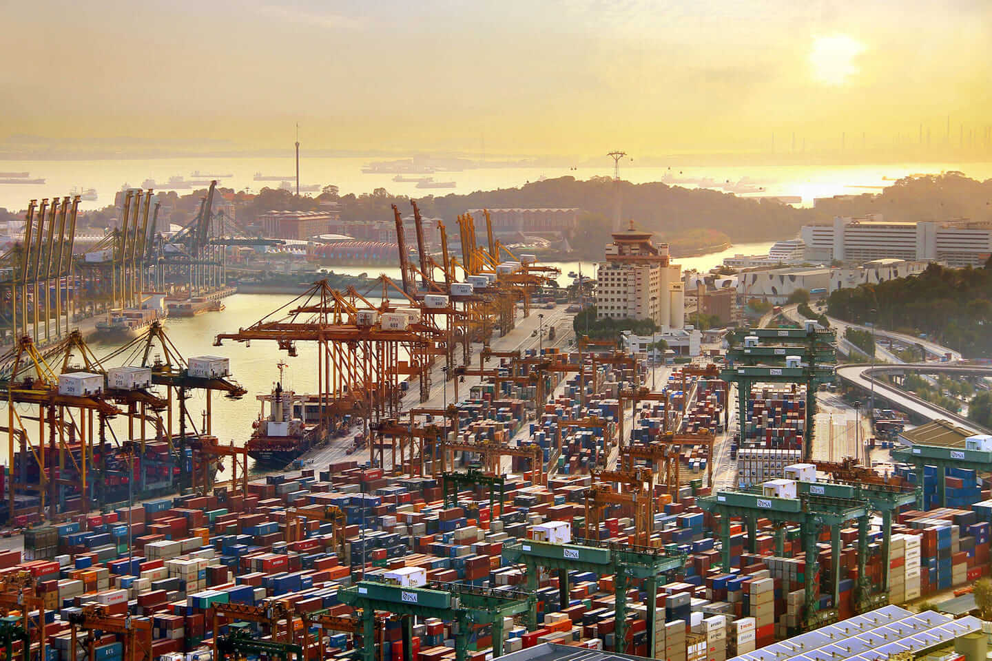
However, it still managed to increase its capacity by creating a single point of entry for all its data: A new world-class port map system powered by geographic information systems (GIS) technology. Now, nothing in the port moves without everyone knowing – all existing resources are optimised and no space goes to waste.
In Singapore, we’ve taken this approach a step further and integrated both land and sea data at a whole new level. In fact, MPA is the first to do so in the region through GeoSpace-Sea.
Looking ahead
For instance, having sufficient data on hand would improve the speed of a regional response to maritime disasters like oil spills.
Should one occur, all relevant agencies would have the same real-time data and updates to allow them to work seamlessly with one another to respond to the situation collectively.
Based on undersea currents, a projection of where the oil spill may spread and affect can be identified and visualised. Shipping routes can then be adjusted in anticipation of them, while biodiversity hotspots can be cordoned off.
This same data can also help us understand and address the challenges that come with climate change – indicators like rising sea level and storm surge patterns can be mapped over the next few decades, which in turn can help identify at-risk infrastructure that needs to be fortified against these elements.
Applications would also be developed for 3D and near real-time coastal and seabed visualisation, and marine models and simulations. These tools will be priceless for institutes of higher learning and for marine science research.
Endless possibilities
It was also timely that the focus of last year’s World Hydrography Day was on how hydrography can support autonomous technologies. Announced in Oct 2020 was how the new Tuas Port would be capable of handling up to 65 million twenty-foot equivalent units annually when fully operational to cater to future growth in container-handling demand.
For such an immense undertaking to be successful, a tried and tested system needs to already be in place and in synch with this mega port’s intelligent data-driven operations management systems and smart engineering and power management platforms. Some key innovations will include unmanned automated vehicles such as yard cranes, drones, and trucks for port transport.
In addition, MPA have also established living labs to facilitate the test-bedding of new technologies, with a view to future large-scale deployment at Tuas.
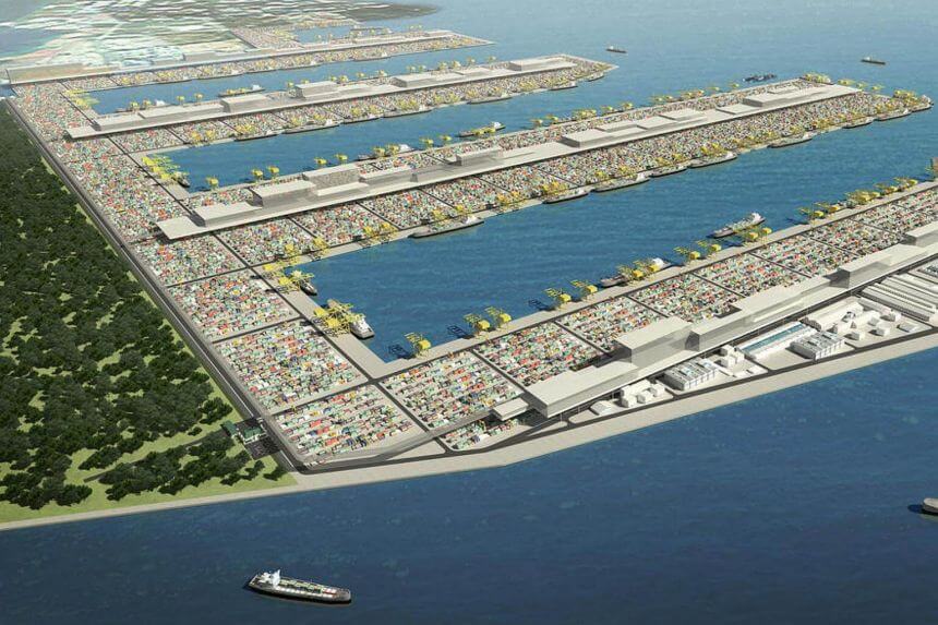
These initiatives will help promote cutting-edge innovation and build up competencies in port development, as part of the Sea Transport Industry Transformation Map.
While only based on current projections, this list could easily go on. It is exciting to think about what could be next as the systems within this system continue to grow and evolve. To quote Esri’s Founder and President Jack Dangermond, “The application of GIS is limited only by the imagination of those who use it.”
Learn more about the role GIS plays in ports and maritime. You can also send us an email or call 6742 8622 to speak to an Esri Singapore specialist.