Esri Singapore | Home

Main navigation Singapore

  • Industries
    • Commercial
      • Banking and finance
      • Construction
      • Design and engineering
      • Electricity
      • Ports and maritime
      • Real estate
      • Retail
      • Telecommunications
      • Transport and logistics
      • Water
    • Government
      • Climate action
      • Defence and intelligence
      • Health and human services
      • Public safety
      • Smart cities
      • Spatial data infrastructure
      • Urban planning
    • Community
      • Start-up Program
      • Education
      • Esri Young Scholar Award
      • Boustead-Esri Geospatial Scholarship
  • Products
    • Capabilities
      • Digital twins
      • Field operations
      • Imagery and remote sensing
      • Real-time visualisation and analytics
      • Spatial analytics
    • About ArcGIS
      • ArcGIS Online
      • ArcGIS Pro
      • ArcGIS Enterprise
      • ArcGIS for Developers
      • ArcGIS for Personal Use
      • ArcGIS Online free trial
      • See other Esri products
    • Applications
      • Apps for the Office
      • Apps for Field Operations
      • Apps for the Community
      • App Builders
      • NV5 Geospatial
    • Data
      • GIS data
      • Open Data
      • Open Standards
      • Data Interoperability
      • Esri’s Open Vision
  • Services and support
    • Services
      • GeoBusiness Solutions
      • Implementation services
      • Professional Services
      • ArcGIS Enterprise upgrade
      • Disaster Response Program
      • Geo Experience space
    • Technical support
      • Esri Support App
      • Support programs
      • Support resources
      • Support request
    • Training
      • Training calendar
      • Training courses
      • Submit a training enquiry
    • ArcGIS resources
      • A quick-start guide to ArcGIS Pro
      • ArcGIS user types
      • ArcGIS product licensing
  • News and events
    • News
      • Subscribe to news
    • Blogs & podcasts
      • Esri Singapore blog
      • Esri Podcast Network
      • GIS Directions podcast
    • Events Calendar
      • Past event presentations
      • Esri Singapore Connect (webinars)
  • About
    • Esri Singapore
      • Our people
      • Our history
      • Our relationship with Esri
      • Our relationship with Boustead
      • Our partner program
    • GIS technology
      • About Esri
      • Jack Dangermond
      • History of GIS
      • About location analytics
      • Esri map gallery
    • Careers
      • Our values
      • Our people
      • Browse jobs
    • Contact us
      • Sales and services
      • Training
      • Support
      • General enquiries
      • Subscribe
  • Store

You are here

  • Industries
  • Government
  • Health and human services

GIS in health and human services

Connect with a specialist
health and human services banner illustration

ArcGIS provides maps and spatial data analytics to visualise vulnerable populations, identify community resources, enable disease monitoring and connect stakeholders.


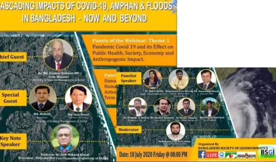
Cascading Impacts of Covid-19, Cyclone Amphan and Floods in Bangladesh: Now and Beyond
Article Tackling multidimensional disasters with geo-informatics

Experts discuss how geospatial technology could serve as a disaster management tool to mitigate the onset of multidimensional disasters.

More
Building-healthier-communities
Industry brief Building healthier communities

GIS-based data collection can help magnify understanding of health issues by updating databases in real-time and visually expressing the results for analysis and more accurate decision making.  


More

Call 6742 8622 or email a specialist to find out more about GIS in health and human services.

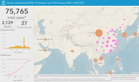
WHO Coronavirus dashboard card image
Resource Coronavirus Disaster Response Hub

Keep up to date with the spread of coronavirus in near real-time with access to all authoritative, community driven resources in one place.

More
Esri Singapore | Home

Footer menu

  • Sitemap
  • Privacy
  • Website Terms and Conditions

© 2026 Esri Singapore All rights reserved.