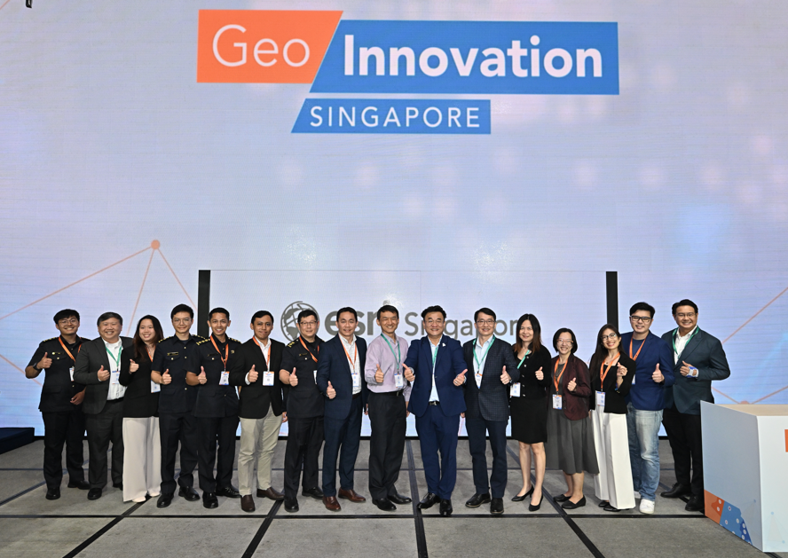
At GeoInnovation Singapore, more than 200 industry leaders and professionals came together to celebrate the power of location intelligence and its impact on shaping a smarter and safer Singapore.
Singapore, 28 February 2025 – Geographic Information Systems (GIS) technology is driving real-world solutions across various sectors, with visionary organisations advancing a more resilient and sustainable Singapore. The event featured the latest advancements in GIS, demonstrated through the award-winning projects.
Award-winning GIS innovations
The four organisations recognised for their innovative GIS applications are the Singapore Civil Defence Force (SCDF), JTC Corporation, the Maritime and Port Authority of Singapore (MPA), and the Housing & Development Board (HDB).
SCDF: Enhancing emergency response with GIS-powered terrain mapping
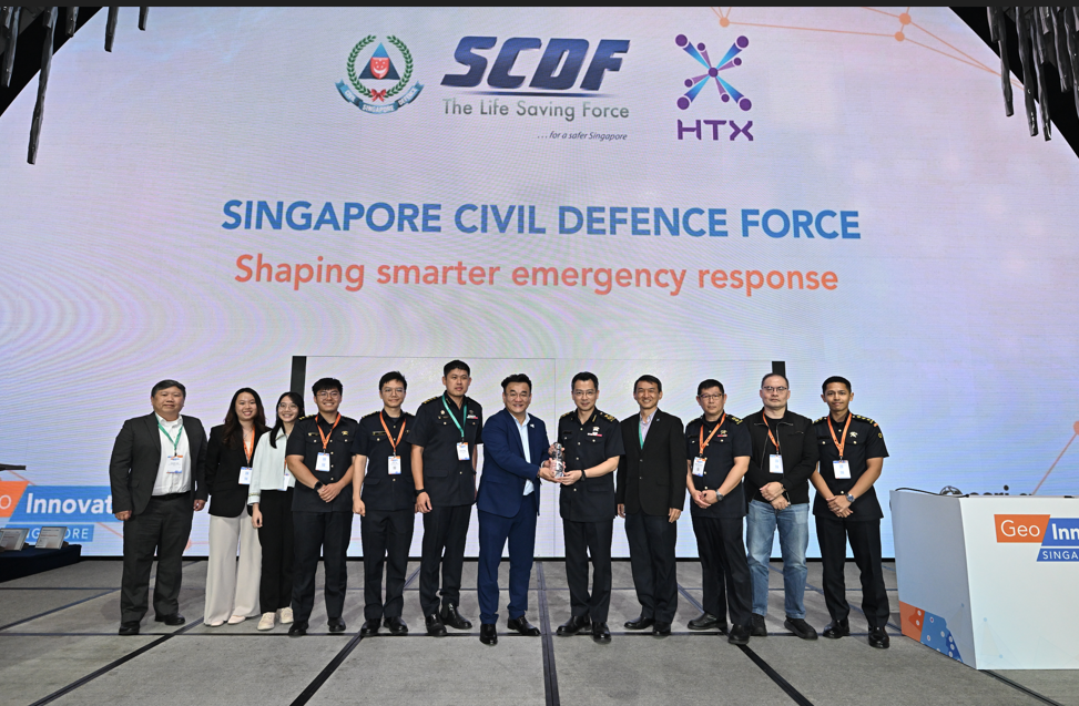
In their relentless pursuit of operational excellence, SCDF has rolled out a new GIS-based terrain mapping system to enhance emergency response. This innovative system allows SCDF responders to have quick and ready access to crucial risk and operational information in an intuitive map view via their smart devices.
The standout feature is the ‘floor-aware’ capability. By integrating floor plans, it gives responders real-time info on essential firefighting provisions like hydrants, riser inlets/outlets, exit staircases, and more—no more scrambling around, just fast and precise operations.
Additionally, geospatial analysis helps responders assess and manage risks with real-time insights, improving situational awareness and decision-making for safer, more efficient operations.
JTC: Integrating perspectives, elevating insights where data meets geography
JTC, Singapore's industrial real estate leader, has completely transformed facility management with its innovative GIS platform, JMAP. This game-changing system integrates diverse data sources, enabling JTC to optimise everything from customer service to resource allocation.
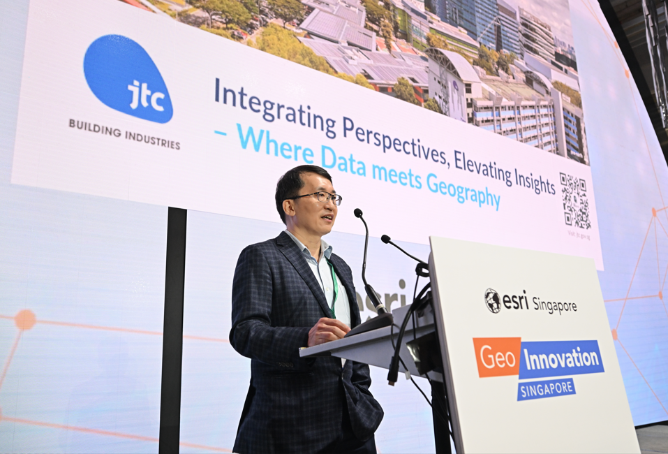
By visualising customer locations, monitoring occupancy rates, and providing tailored services, JMAP boosts operational efficiency and sustainability across JTC’s properties. It’s not just about managing spaces—it’s about mapping the future of Singapore’s industrial landscape, ensuring resource optimisation, and setting new standards in real estate management and customer service excellence.
MPA: Enhancing maritime safety with digital twin
As the maritime industry charts its course toward a net-zero future, MPA has teamed up with Esri Singapore and local research institutes to launch an innovative web-based tool. This powerful application pulls together real-time data from multiple sources to create detailed 3D maps, complete with geofenced danger zones.
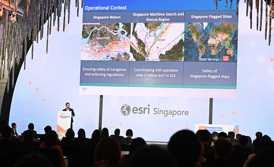
In the event of a chemical spill, the system provides instant alerts, enabling planners to quickly assess the situation, prioritise responses, and deploy resources efficiently. This result in smarter decision-making, reduced environmental impact, and safer operations across Singapore's waters.
HDB: Automating Building Data Accuracy with GIS
Ensuring the accuracy of building data is key for effective urban planning, but traditional methods of checking can be tedious and prone to mistakes. To address this challenge, HDB has automated the verification of post-construction building data using GIS technology. Previously, technical officers manually checked for errors such as incorrect attributes or discrepancies in building geometry.
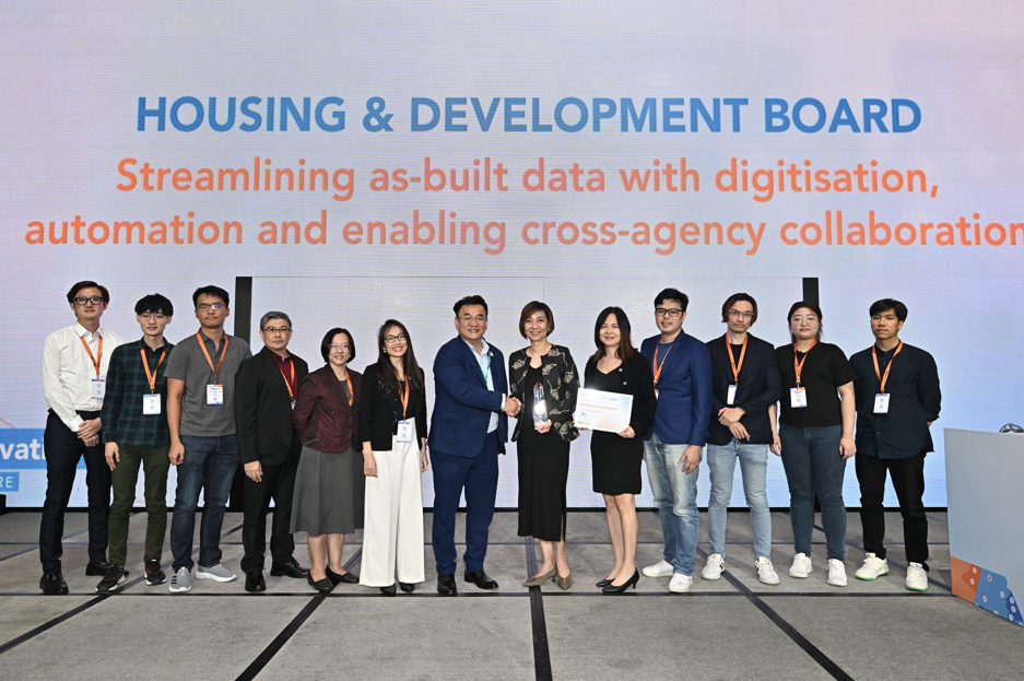
With their new system, powered by ArcPy (a tool for automating tasks within mapping software), HDB now compares the as-built information with design plans to spot any discrepancies, ensuring everything aligns perfectly. This not only saves time and resources but also ensures higher-quality, more reliable data that supports smarter, more sustainable city planning.
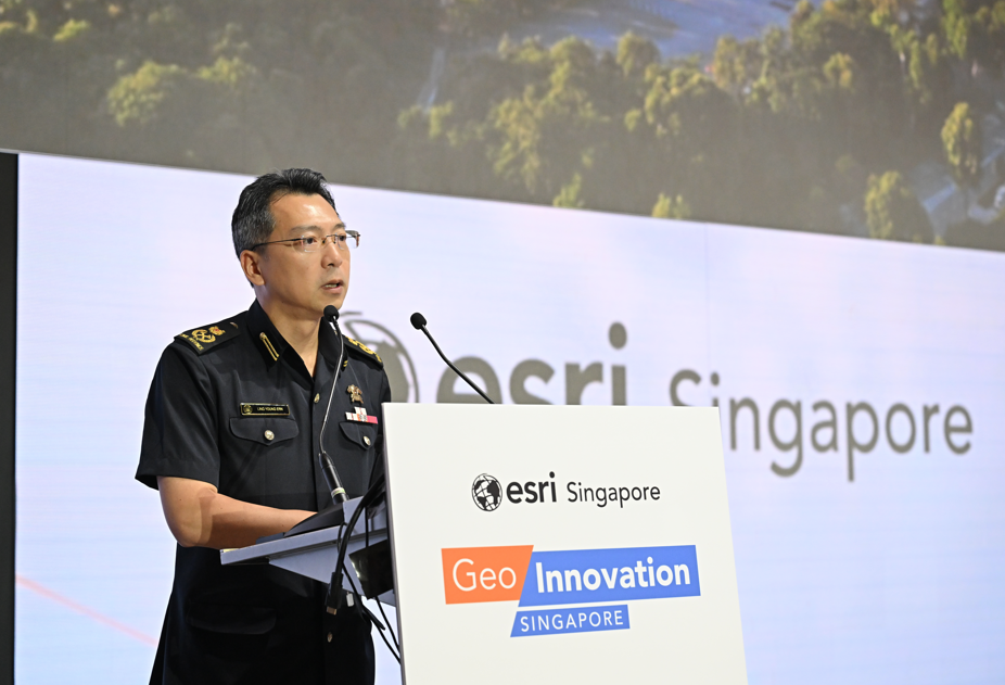
A vision for a safer and smarter Singapore was addressed by keynote speaker DC Ling Young Ern, Deputy Commissioner (Operations and Resilience) of SCDF, who highlighted the critical role of geospatial innovation in strengthening national security and shaping Singapore’s future.
"GeoInnovation Singapore celebrates the incredible potential of GIS technology in addressing real-world challenges. By leveraging location intelligence, these organisations are enhancing their operations and making significant contributions to creating a more resilient, forward-thinking and sustainable Singapore."
Joe Lee, Esri Singapore CEO
As Singapore continues to evolve as a global hub for technological innovation, the role of GIS in shaping the future of urban life, safety, and sustainability has never been more critical. GeoInnovation Singapore 2025 proved that the potential of location intelligence is only just beginning to be realised.
For more details or inquiries, please contact our media team.