Leading disaster management experts discussed how to use GIS to safeguard Indonesia from natural disasters.
A think tank of Indonesia’s leading disaster management experts have gathered in Jakarta to discuss how advanced Geographic Information System (GIS) technology will be used to safeguard the country from earthquakes, tsunamis, landslides, volcanic eruptions, flooding, and droughts.
The National Disaster Management Agency (BNPB) and the Geographical Alumni Association of Gadjah Mada University (IGEGAMA), together with Esri Indonesia, led a Disaster Response discussion forum attended by key government agencies and non-governmental organisations (NGOs) to welcome the commemoration of Disaster Preparedness Day every April 26th.
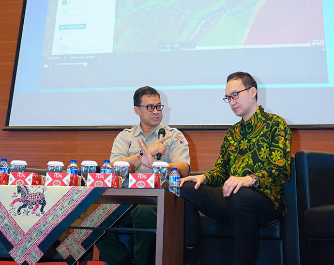
Dr. Raditya Jati, S.Si, M.Si - Director of Disaster Risk Reduction of BNPB (left) dan Dr A.Istamar - CEO of Esri Indonesia (right) on Panel Discussion session.
Dr Raditya Jati, S.Si, M.Si Director of Disaster Risk Reduction of BNPB said GIS technology – which is already widely used by the government to support emergency response – also holds a valuable role in helping ensure the country can be prepared to mitigate potential risks.
“It is critical to have a precursory understanding of disaster incidents and emergency management, to ensure the right measures are in place for response and recovery,” Dr Raditya said.
“Using GIS technology allows trained responders to quickly upload and share information between command centres across town and cities, to provide greater clarity around the best course of action when responding.”
"This makes it easier for all parties to make informed decisions on how to better respond to emergency situations," he added.
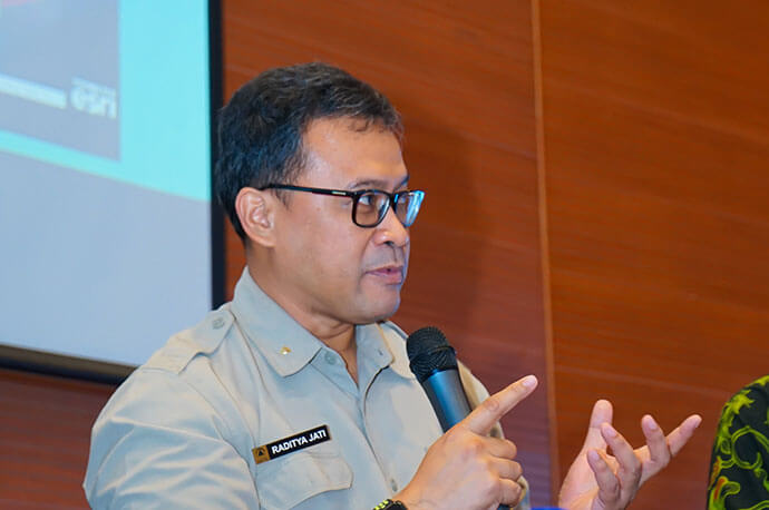
Dr. Raditya Jati, S.Si, M.Si - Director of Disaster Risk Reduction of BNPB presenting his view on Integrated Geospatial Information apps for Disaster Management in Indonesia.
Dr A. Istamar, Chief Executive Officer of Esri Indonesia, indicated GIS technology is already used by many of the world’s leading disaster response teams, holding a critical role in large-scale emergencies such as the Mount Agung possible eruption, the missing MH370 airplane and the Las Vegas terrorist attack.
“GIS technology provides authorities with real-time, reliable information at a time when every second counts.”
“The technology creates an advanced decision-making support systems that enables emergency responders to conduct quick damage assessments, understand hazards areas, identify at-risk populations and secure critical infrastructure in search and rescue operations.
“Indonesia is already effectively using GIS technology in many areas of disaster planning and response – and discussions from today’s forum indicate it will continue to be a key tool in ensuring our country’s disaster response strategy is second-to-none.”
Indonesia is one of the most disaster-prone countries in the world. BNPB aims to equip Indonesians with the knowledge to gain better awareness and be readily prepared whenever a disaster occurs.