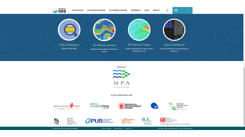
The Maritime and Port Authority of Singapore (MPA) collaborates with Esri Singapore to build GeoSpace-Sea – a national Marine Spatial Data Infrastructure.
In continuing efforts towards a sustainable marine space for Singapore, GeoSpace-Sea will provide comprehensive and consolidated geospatial data for port, marine, and coastal planning, as well as environmental management.
Developed together with Esri Singapore’s professional services team, the initiative will be developed in phases. Powered by ArcGIS Enterprise, it comprises a mix of GIS components such as Portal for ArcGIS and the Geoportal server. These are brought together through ArcGIS Hub to manage the contents and enable the data collaboration with 11 other government agencies and institutes of higher learning.

Database population has commenced, which will include hydrographic data, marine environment data such as coastline details, and habitat data. All agencies involved will have access to a central repository of authorised marine and coastal geospatial data in a single location, including 3D visualisation of the seabed.
GeoSpace-Sea will also adopt open data standards to promote interoperability for users to integrate and overlay various marine, coastal, and land data. This will be done to better co-relate, analyse, and utilise the various geospatial data types.
In future phases, the system will be extended to institutes of higher learning and marine science institutes for marine science research. Applications would also be developed for 3D and near real-time coastal and seabed visualisation, as well as marine models and simulations.
In recognition of this innovative application of location analytics and technology, MPA will be awarded a Special Achievement in GIS (SAG) Award at this year’s virtual Esri User Conference (UC).
