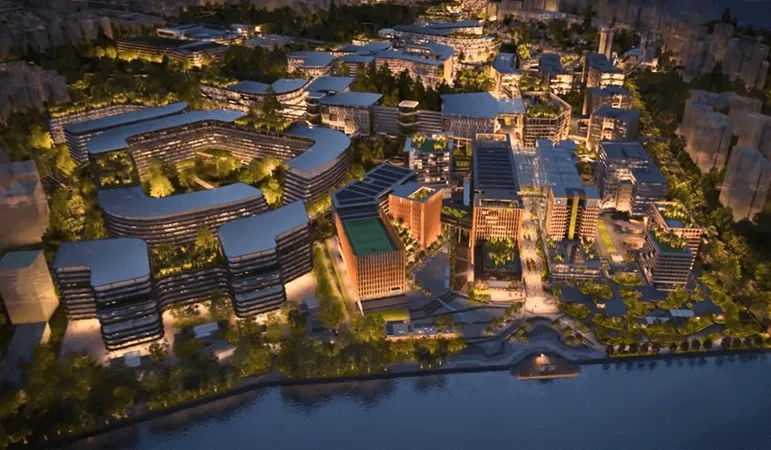
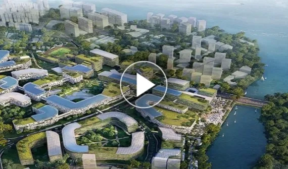
Housing and clustering key growth sectors of the digital economy such as cybersecurity and digital technology, the Punggol Digital District (PDD) will be an ecosystem of open innovation.
As a conducive test-bed environment, it will enable businesses and the community to thrive at the forefront of Singapore's Smart Nation vision.
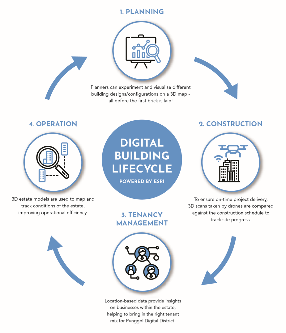
By leveraging on Esri's ArcGIS solution, JTC planners can analyse different designs of PDD through parametric modelling. The objective? To maximise the land use potential of each allocated parcel.
As a result, various data sources and types are meshed and displayed on a single map: BIM visualised against surrounding geospatial data enables JTC Planners to gauge the design impact on the existing environment and landscape.
Aerial scans taken by drones on site are used to monitor and track construction progress. The scans taken can also be geo-referenced on a GIS platform to ensure that the construction is aligned with the planned design.
In deciding the right combination of tenants to bring in, location-based data provides insights into PDD's business needs by analysing consumer patterns, demographics, and existing services and amenities to profile a new site.
BIM data can also be integrated on a GIS platform (also known as GeoBIM) to track assets inside – their conditions can and will be mapped and observed throughout their life cycle for full operational awareness. Facilities can be viewed from outside to in on the same user interface, allowing planners to analyse dependencies, decrease costs, make better decisions, and improve operational management.


