
Looking to level up your GIS skills?
Learn from Esri certified instructors and gain hands-on experience in mapping, analysis, and data workflow.

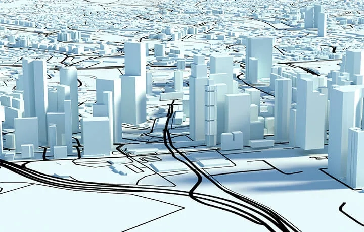
Ensuring safer streets with smart mapping
GIS-based tools for public safety professionals.

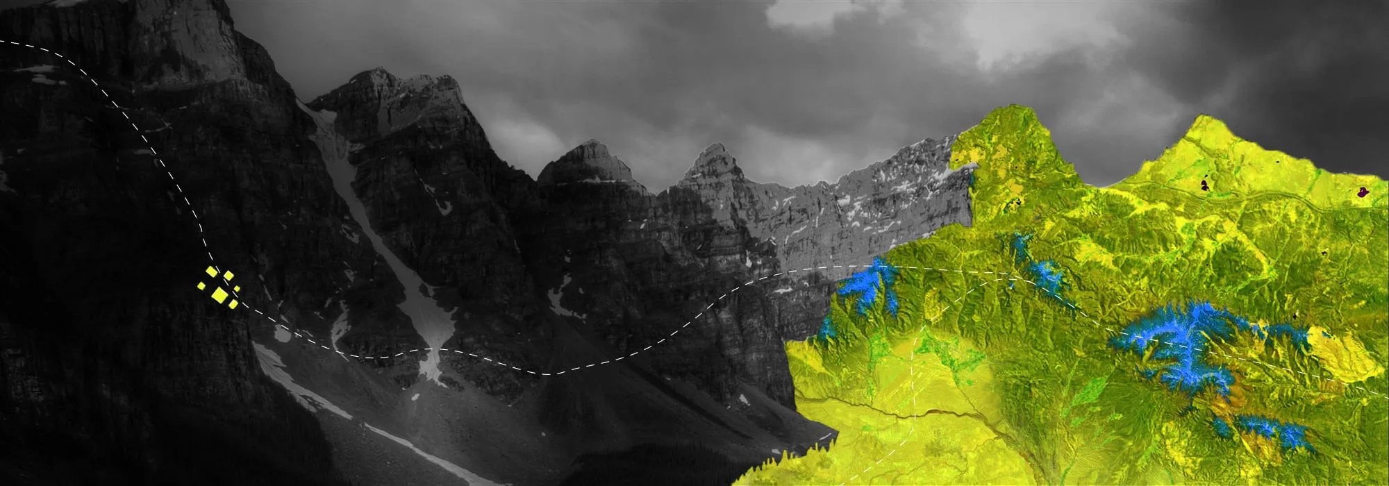
Building a sustainable future
How global innovators are driving collaborative climate action.

Mapping the big picture
Discover how Singapore Police Force’s real-time eGIS platform optimises resourcing and keeps the public safe.