ArcGIS brings imagery, remote sensing, and spatial analysis together in one platform. Prepare, analyse, and share imagery at scale, with GeoAI applied where automation and scale add the most value.
Key benefits of ArcGIS imagery and remote sensing
Whether you’re managing urban development, monitoring flood risks, or maintaining public assets, ArcGIS imagery and remote sensing tools deliver:

Actionable insights
Monitor land use, environmental change, and infrastructure with satellite and drone imagery in real time.

Scalable solutions
Apply ArcGIS imagery analysis to small projects or enterprise-scale operations with flexible, configurable tools.
Advanced technologies
Leverage high-resolution imagery, LiDAR mapping, hyperspectral and multispectral data for deeper spatial analysis.
How it works: From raw data to actionable insight
ArcGIS imagery and remote sensing follow a proven workflow to turn complex data into clear, actionable intelligence.
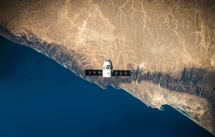
Step 1 - Data capture
Satellites, drones, and sensors capture visible, hyperspectral, and multispectral data for a detailed view of Earth surface.
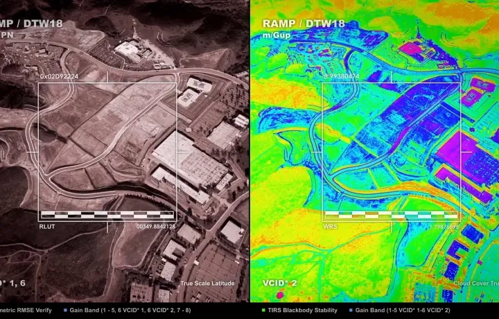
Step 2 - Data processing
Raw imagery is enhanced with geometric corrections, calibration, and enhancement using photogrammetry and LiDAR mapping to ensure precision and actionable datasets.
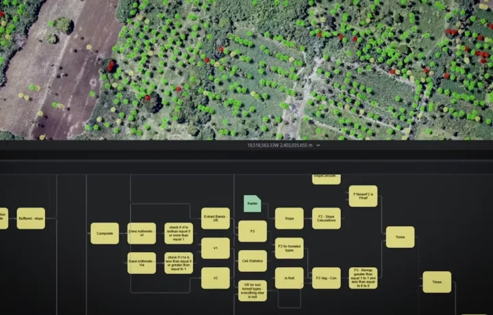
Step 3 - Analyse and model spatial patterns
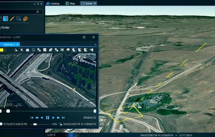
Use ArcGIS to perform raster analysis, surface modelling, and time-based change detection across 2D and 3D environments. AI can be applied at this stage to automate feature extraction and change detection at scale.
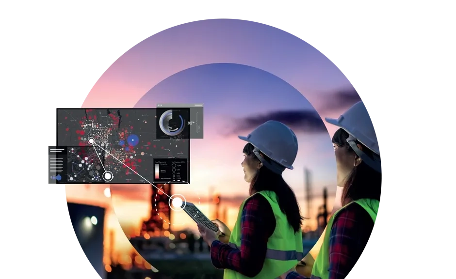
Step 4 - Visual, share, and act
Share results through ArcGIS maps, dashboards, and apps to support timely decisions, cross-team collaboration, and measurable outcomes.