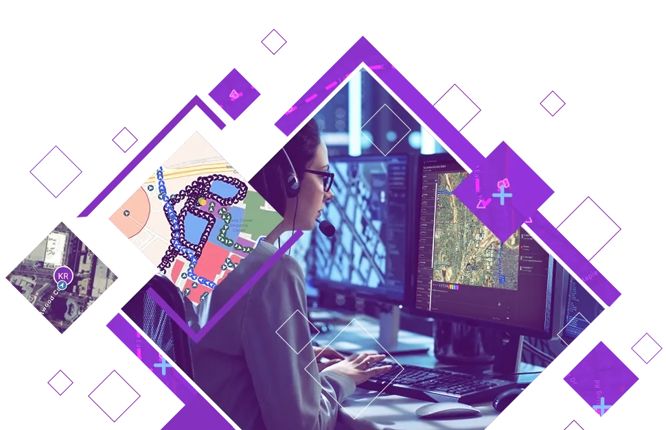
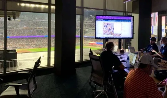
An all-inclusive command and control software that streamlines operations, while providing teams with tactical situational awareness of an operating environment. ArcGIS Mission enables teams to better understand their operations, make informed decisions in real time, and acquire new understanding from completed missions.

Benefits of ArcGIS Mission

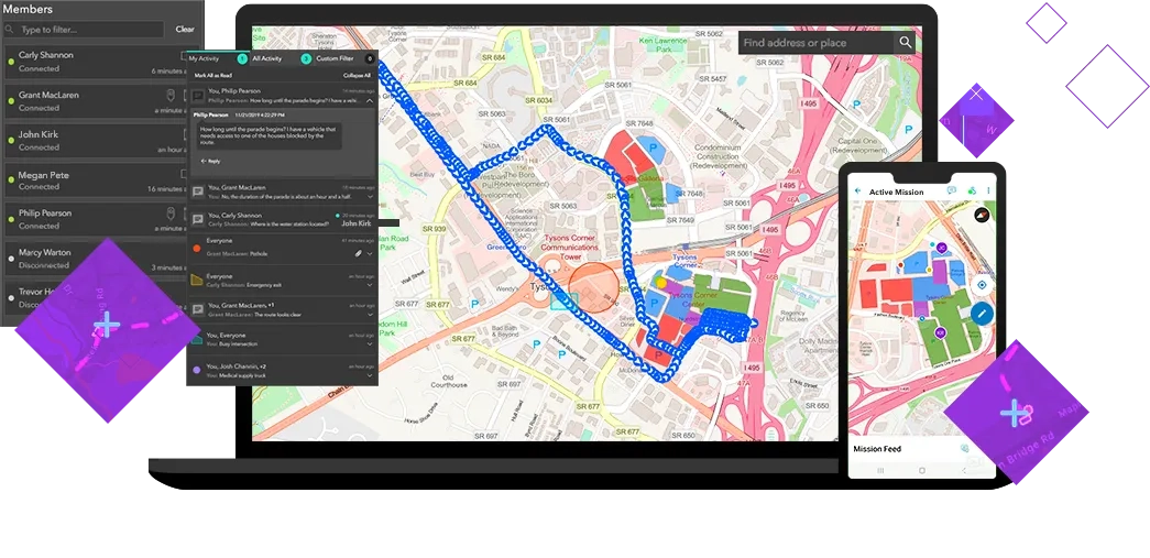
One mission, one common operating picture for team awareness

arcgis-mission-lcs-benefits-fg

Integrate command & control

Pre-plan operations, assign resources, share information, communicate with team members, and review incidents.

Tactical team awareness

Visualise where personnel are and coordinate movement among team members based on real-time events and activity.

P2P communication

Persistent communication enables teams to share location, tracks, and messages for stronger collaboration in disconnected environments.

Improved understanding

Leverage mission data to gain insights, increase transparency, and build trust with your team through post incident analysis and review.

Ready to learn more? Contact us or call 6742 8622 to speak to a product specialist.

How it works

arcgis-mission-how-it-works

Plan

Create the mission, designate the location, assign teams, and share critical information.

Execute

Access mission information to track, monitor, and coordinate movement via location sharing, and peer-to-peer (P2P) communication.

Review

Conduct temporal analysis on mission activity to evaluate and understand patterns, enhance performance, and improve planning for future missions.

One solution, multiple insights

ArcGIS Mission is a complete command and control software and tactical team situational awareness solution that is composed of three integrated components with ArcGIS.

ArcGIS Mission Manager

ArcGIS Mission Manager is a web app that enables mission managers to assign tactical team resource, designate maps, share documents, and monitor team member activity.

ArcGIS Mission Responder

ArcGIS Mission Responder is a mobile app enabling field users to access missions. Users can share connectivity and location, and communicate via chat, points of interest, photos, and more.

ArcGIS Mission Server

ArcGIS Mission Server is an ArcGIS Enterprise server role that provides the processing necessary for communication between the components of ArcGIS Mission.

Subscribe to
Esri Singapore news