

Part of the Esri Geospatial Cloud, ArcGIS Online enables you to connect people, locations, and data using interactive maps. Work with smart, data-driven styles and intuitive analysis tools that deliver location intelligence. Share your insights with the world or specific groups.

Make maps
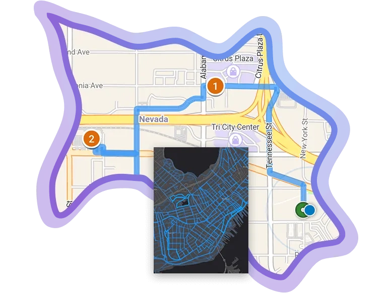
Quickly create maps by dropping in your spreadsheet and mashing it up with other location data included in ArcGIS Online. Apply Smart Mapping styles to make your data visually stunning.

Share & collaborate
Instantly share your maps with anyone, anywhere. Work collaboratively with your colleagues to build maps and apps.


Analyse data
Intuitive analysis tools help you learn more about your data. Add valuable context to your data by combining it with Esri’s demographic and lifestyle data.


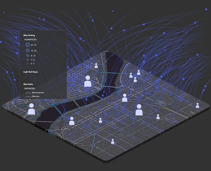
Work with your data
Bring your data into a powerful system that geoenables, hosts, and scales. Precisely collect, update, and control access to your data.

To find out more about ArcGIS Online call or email a product specialist on 6742 8622.
Designed for your success


Cloud-based
Because it’s software-as-a-service (SaaS), ArcGIS Online can be used anytime, anywhere. Your maps scale so hundreds or even millions of people can interact with them at the same time. Esri takes care of software updates and maintenance so you are free to focus on your work.
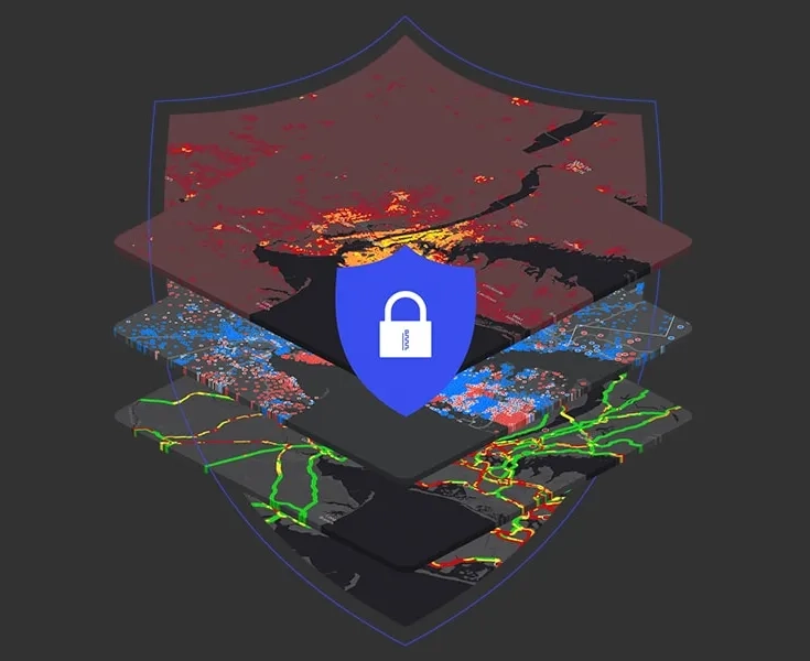
Secure & private
Trusted by even the most regulated industries, ArcGIS Online continually earns security and privacy certifications. It’s resilient, redundant, and built from the ground up with security in mind.
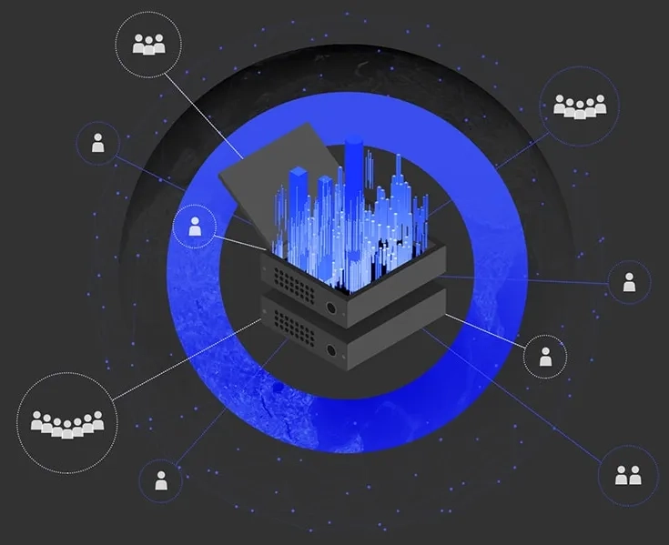
Enterprise ready
ArcGIS Online meets your IT requirements including security, authentication, and privacy. It provides logging and other advanced reports so you can keep up with your organisation’s activities. You can also integrate your enterprise authentication system.
Expand your work
ArcGIS Online is a complete mapping and analysis solution. You can use it on its own or expand your work using other ArcGIS products. The work you do can be shared and integrated across ArcGIS.
Developer tools
All ArcGIS Online capabilities are available through APIs and SDKs. Developers can jump-start their work by leveraging the maps, analyses, and styles their mapping colleagues created. Extend and customise ArcGIS Online items and develop custom apps using the developer tools.
Field operations
Connect field and office operations with shared data. Create data, maps, and apps for those in the field to reference or use for data collection. Take maps offline and sync when reconnected. The collected data feeds into ArcGIS Online to be used in apps and dashboards.
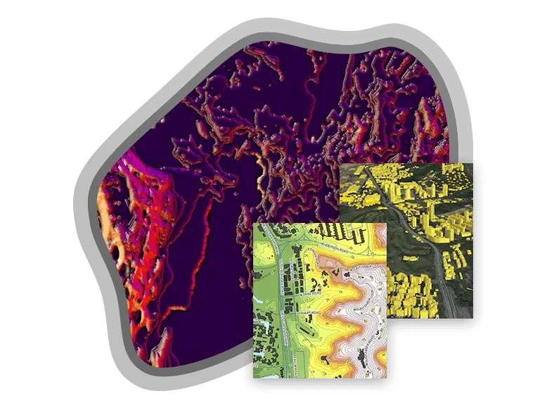
Advanced Workflows
Use contemporary tools to create maps that feature custom basemaps, multi-attribute symbology, and precise labeling. Automate data manipulation workflows. Create, edit, and manage complex 2D and 3D data. Accomplish these workflows using ArcGIS Pro and share your work through ArcGIS Online.
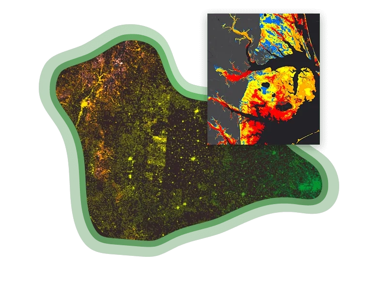
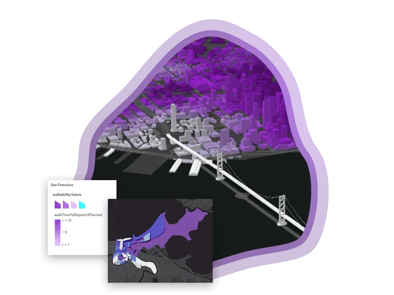
Data and maps
Expand your ArcGIS Online projects by incorporating data and maps from ArcGIS Living Atlas of the World, the most comprehensive collection of global geographic information. Explore and add data to your maps, including live weather and traffic feeds, demographics, and imagery.