You are here News and events Blogs & podcasts Esri Singapore blog Esri Singapore blog Driving an Enterprise GIS with strategic rebranding How rebranding job titles and department names can help you change your image from mapmaker to enterprise IT solution provider. Learn more A business guide to AI and location intelligence Business executives, pressed to deliver on strategic goals like market growth and risk mitigation, find important context in combining artificial intelligence with location intelligence technology. Learn more Digitalising navigational charts for safety NOAA is leading the world in phasing out paper charts, embracing the advantages of Electronic Navigational Charts. Learn more What the world's smartest cities all have in common Discover how location intelligence is used to make data-driven decisions and plan long-term improvements that benefit residents. Learn more 6 reasons AEC projects need GIS-BIM integration Cardno shares how GIS-BIM integration is optimising AEC designs, accelerating project approvals and reducing infrastructure development costs. Learn more
Driving an Enterprise GIS with strategic rebranding How rebranding job titles and department names can help you change your image from mapmaker to enterprise IT solution provider. Learn more
A business guide to AI and location intelligence Business executives, pressed to deliver on strategic goals like market growth and risk mitigation, find important context in combining artificial intelligence with location intelligence technology. Learn more
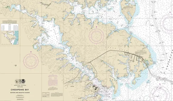
Digitalising navigational charts for safety NOAA is leading the world in phasing out paper charts, embracing the advantages of Electronic Navigational Charts. Learn more
What the world's smartest cities all have in common Discover how location intelligence is used to make data-driven decisions and plan long-term improvements that benefit residents. Learn more
6 reasons AEC projects need GIS-BIM integration Cardno shares how GIS-BIM integration is optimising AEC designs, accelerating project approvals and reducing infrastructure development costs. Learn more