Get the Most Out of Your Data
Any GIS system is only as good as the data that's in it. ArcGIS provides a complete set of tools that give you the flexibility to store, edit, and manage data in a way that fits with your existing processes.
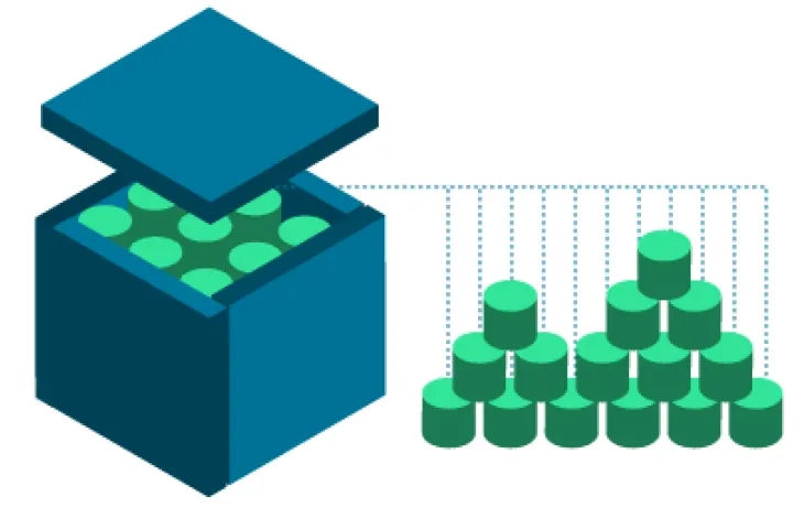
Store Data
ArcGIS allows you to access, use, and store GIS data in a way that fits and optimises existing workflows.

Individual Files
ArcGIS supports many data formats, such as shapefiles, file geodatabases, tables/spreadsheets, CAD, and rasters. A file geodatabase provides structural, performance, and data management advantages over other formats. Esri File Geodatabase API allows you to interact directly

Databases
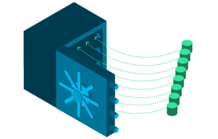
ArcGIS can make direct connections to various relational database management systems (RDBMS) and big data databases.

Geodatabases
A geodatabase stores GIS data in a central location for easy access and management. It can be leveraged in desktop, server, or mobile environments. It sits on top of an RDBMS, such as SQL Server, Oracle, or PostgreSQL, and supports all types of GIS data.

Cloud
You can store data in the Esri cloud with ArcGIS Online or in your own personal cloud infrastructure. ArcGIS can be deployed on the Amazon Web Services, Microsoft Azure, IBM SoftLayer, and VCE cloud platforms.
Edit Data
Use ArcGIS to compile and manage geographic data layers that power your GIS. ArcGIS provides a comprehensive suite of editing tools and workflows.

Single-Use Editing
ArcGIS allows you to compile and manage multiple GIS layers using comprehensive editing tools and workflows.

Multiuser Editing
Establish an enterprise-calibre, multiuser editing environment with the geodatabase. The geodatabase uses versioning, replication, and archiving to provide seamless, organisation-wide editing and use of geospatial data.
Harness Big Data
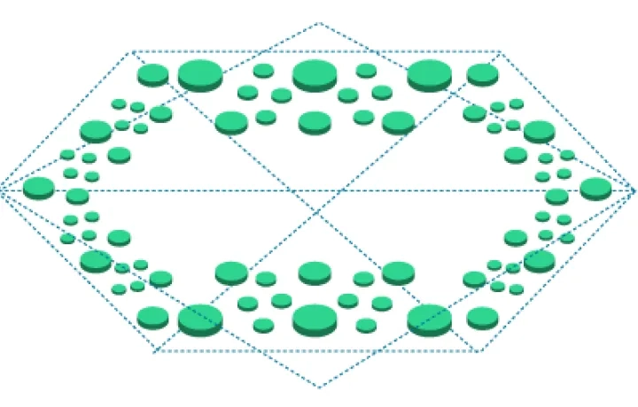
ArcGIS helps you take control of big data so it can be analysed and visualised from a geographic perspective. It brings together not only massive volumes of data but also data of disparate types.
Integrate Your Enterprise
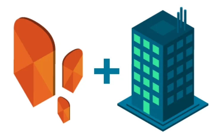
ArcGIS integrates with data stored in your existing business systems to extend their analytical capabilities. ArcGIS enhances your business intelligence, collaboration, productivity, and customer relationship management systems.
Set Data Rules and Relationships
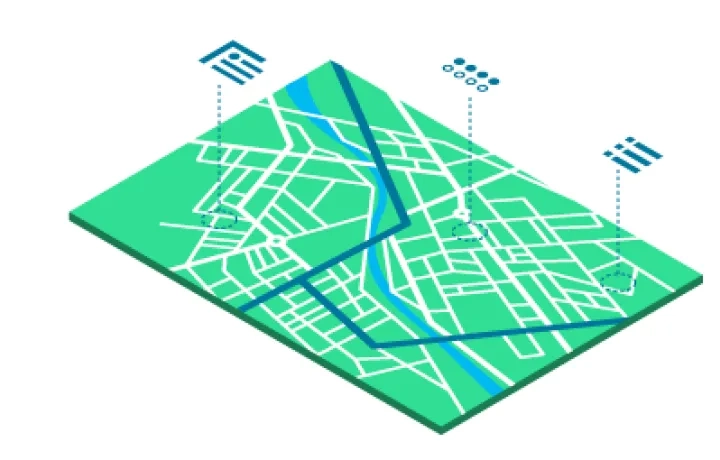
ArcGIS maintains your data integrity and simplifies data management when the data is stored in a geodatabase. You can define relationships, such as networks and topologies, between your datasets and set rules, such as domains and subtypes, for individual datasets.
Manage Metadata
Metadata describes the content, quality, origin, and other characteristics of data. It's data about data. Complete and accurate metadata is required to have reliable, quality data. ArcGIS supports custom and standard metadata profiles, including FGDC, ISO, INSPIRE, and Dublin Core.
Secure Your Data
ArcGIS is designed to support your organisation's specific security requirements and gives you flexibility and control over how your GIS platform is deployed, maintained, secured, and used.