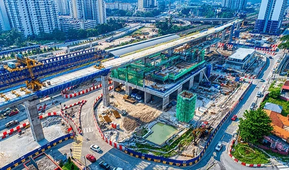
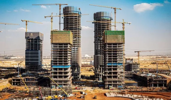
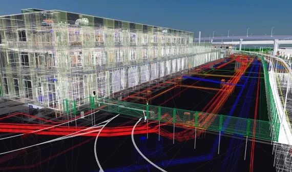
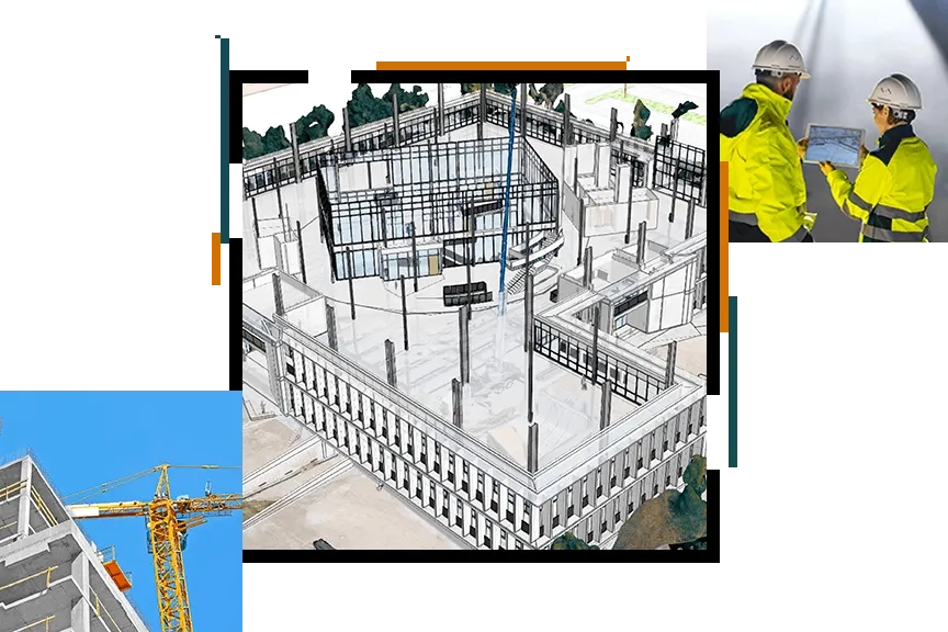
You are here Home Architecture and planning GIS in architecture and planning The integration of GIS and BIM visualises the built environment and optimises development designs. Transforming infrastructure design with GIS and BIM The SSP Line geospatial portal is the first cloud-based GIS deployment in Asia to fully integrate with BIM and Reality Modelling into ArcGIS Portal. More White paper How ArcGIS supports AEC project delivery Architecture, engineering and construction firms use GIS for collaboration between project partners, improving the review process and increase customer satisfaction. More To learn how closer integration between GIS, CAD and BIM technologies is optimising designs, reducing costs and creating more resilient infrastructure, call 6742 8622 or email a specialist today. Video Digital twinning with ArcGIS Urban See how organisations around the world use ArcGIS to visualise the built environment, make smarter plans, engage stakeholders and foster vibrant communities. More Product Autodesk and Esri strengthening BIM-GIS integration The Autodesk and Esri partnership puts GIS and BIM at the centre of construction projects, driving smarter decisions, optimised designs, faster project approvals and reduced costs. More Blog 6 reasons AEC projects need GIS-BIM integration Cardno shares how GIS-BIM integration is optimising development designs, accelerating project approvals and reducing infrastructure development costs. More
Transforming infrastructure design with GIS and BIM The SSP Line geospatial portal is the first cloud-based GIS deployment in Asia to fully integrate with BIM and Reality Modelling into ArcGIS Portal. More
White paper How ArcGIS supports AEC project delivery Architecture, engineering and construction firms use GIS for collaboration between project partners, improving the review process and increase customer satisfaction. More
Video Digital twinning with ArcGIS Urban See how organisations around the world use ArcGIS to visualise the built environment, make smarter plans, engage stakeholders and foster vibrant communities. More
Product Autodesk and Esri strengthening BIM-GIS integration The Autodesk and Esri partnership puts GIS and BIM at the centre of construction projects, driving smarter decisions, optimised designs, faster project approvals and reduced costs. More
Blog 6 reasons AEC projects need GIS-BIM integration Cardno shares how GIS-BIM integration is optimising development designs, accelerating project approvals and reducing infrastructure development costs. More