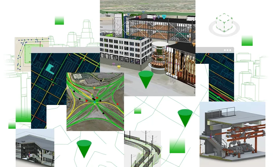
An innovative, easy-to-use web-based experience for teams to explore and collaborate on building information modelling (BIM) projects and issues, using data from multiple systems in a geospatial context. Architecture, engineering, and construction (AEC) teams can easily work with linked data from multiple systems in configurable web apps that simplify communication and collaboration with teams and stakeholders.
See projects in context
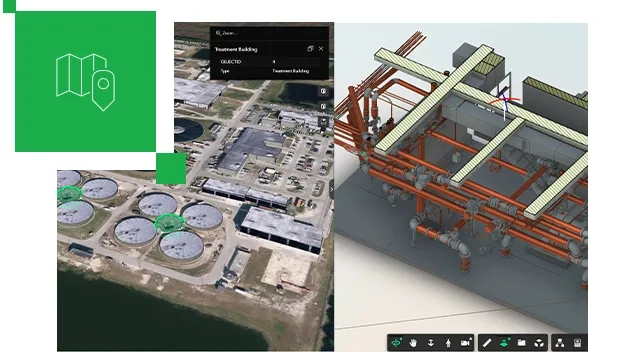
Connect geospatial data with your design and construction information.
See all your project activity on one map
Explore and browse project data, issues, and documents in a geospatial context through an easy-to-use web app.
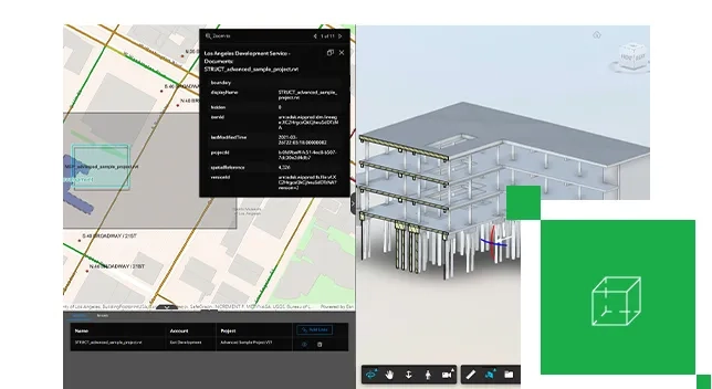
Organise projects without reorganising data
Keep your documents and data organised in the original source locations and access your GIS and BIM project content through a common web-based app experience.

Connect directly to the data source
Reduce the need to continually convert your data by directly linking to BIM projects, data, and documents stored on separate systems.
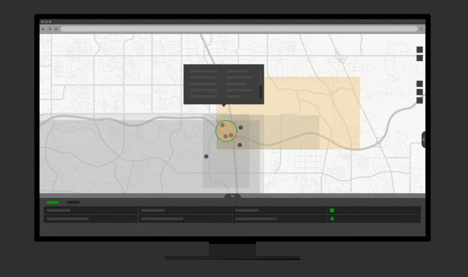
Communicate project information easily
Share easy-to-use ArcGIS GeoBIM apps with stakeholders to enable them to explore project information and issues.

How it works

Esri and Autodesk
Esri and Autodesk are industry leaders that are working together to put GIS and BIM data at the center of projects. The shared vision is an integrated and collaborative workflow that connects data sources and improves understanding projects in context, reduces inefficiencies, and delivers more sustainable resilient infrastructure.