
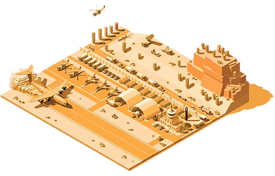
Support missions using the power of location. GIS technology gives defence and intelligence agencies powerful mapping and analysis capabilities to proactively identify risks and develop effective mitigation and response plans.
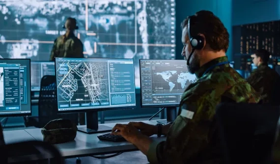

Manage operations, extract insights, and make informed decisions.


Enable joint operations across all domains and functions

Generate intelligence from real-time big data