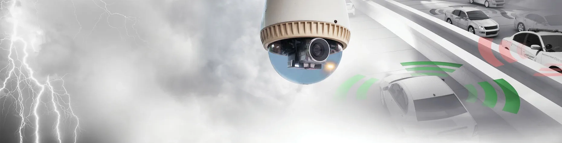
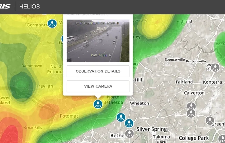
NV5 Geospatial Helios® provides fast, accurate ground weather intelligence by using CCTV surveillance systems to provide real-time weather information. Helios analytics bridges the gap between atmospheric predictions and events on the ground that are influenced by the localised weather events.

Improve situational awareness
Helios improves street-level situational awareness and short-term weather forecasting by validating real-time ground conditions day and night.
Access real-time analytics
Helios provides immediate access to weather condition analytics from an aggregated network of traffic and surveillance cameras.
Detect ground conditions
Helios delivers 95% weather detection accuracy capturing hyperlocal extremes and short-lived severe events undetected by traditional methods.
To learn more about ENVI Helios, contact our imagery expert team on 6742 8622 or send us an email.
Patented Analytics
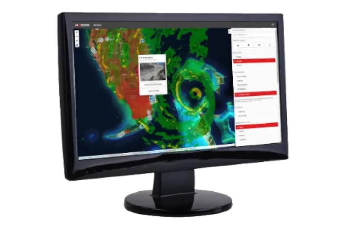
There is no need to spend valuable manhours monitoring hundreds of cameras; let Helios analytics do it for you. Browser-based interface allows users to have an interactive mapping application that integrates multiple weather observations and data layers such as clouds or radar to get the most complete picture of weather events in a particular spot.
Helios API
The Helios Explore web app provides on-screen visualisation capabilities to get the complete weather picture. Browse live imagery via an interactive map interface from a vast camera network, view real-time weather alerts and traditional weather sources such as radar and cloud cover. With access to the full Helios API, you can perform powerful searches and save imagery using recordings or collections from desktop or mobile.