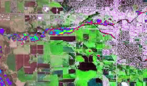
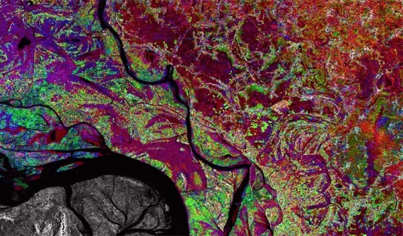
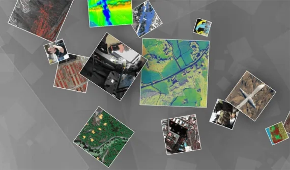
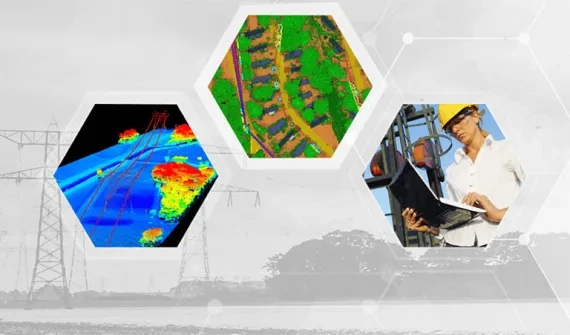
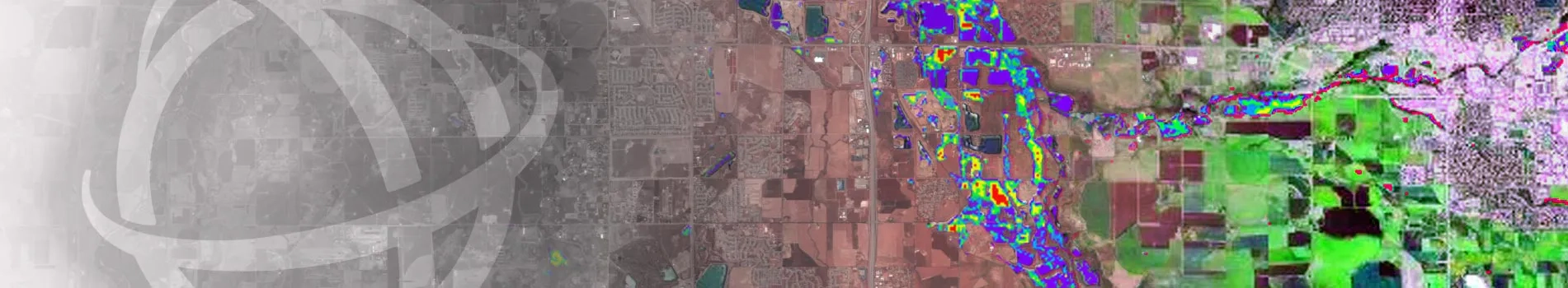
Harris Geospatial Amplify asset management software provides utility mapping and infrastructure maintenance management solutions.

Amplify utility asset inspections

Amplify provides accurate, high-frequency solutions to automate asset monitoring and inspection operations using remote sensing technology such as UAS and big data analytics.

Analytics insights: answers you can trust

Utility solutions range from data collection to data storage and asset management. Processing and analysing the data provides critical insights for asset maintenance and replacement.

Amplify

To find out how your organisation can leverage AMPlify and help you achieve your goals, call a product specialist on 6742 8622 or send us an email.

Asset inventory

High-precision Geiger-mode LiDAR data can map an entire network at highest point densities to extract details of network assets, providing a complete, accurate infrastructure record.

Asset inspection

Image analytics workflows allow utilities to leverage the power of remote sensing analytics without requiring a staff of image scientists.

Change detection

As more data is collected along a network, change detection can be applied for any time period, revealing changes such as increasing pole tilt or rusting equipment.

Vegetation management

Create vegetation profiles

Vegetation profiles can be derived from high-resolution Geiger-mode LiDAR data and by analysing multi/hyperspectral data. Accurate species identification helps predict future growth rates and patterns and mitigate problem vegetation and invasive species.

Efficiently deploy crews

ENVI can extract features such as trees, power lines, and power poles from a variety of remotely sensed data including LiDAR and spectral imagery. Deploying the appropriate crews and equipment to specific problem areas reduces visual inspection time.


Emergency Management

Harris’ Geiger-mode LiDAR data provides entire network baseline maps, and through a range of post-storm data collection techniques, change detection analytics can detect anomalies between the baseline map and current information. This automated approach using all forms of remote sensing techniques allows organisations to position repair crews and restore power more rapidly and effectively.

harris-geospatial-Amplify

Planning and design

Using LiDAR data, clearance information on overhead T&D infrastructure can be calculated to support minimum clearance zones between communications and electric spans as part of a joint use asset management plan, as well as identifying potential clearance violations with nearby structures.

harris-geospatial-Amplify

Subscribe to
Esri Singapore news