Uniting to build a safer and smarter Singapore
Ever wondered how GIS builds safer, smarter communities? Hear from thought leaders and award winners as they share real stories of GIS in action, shaping a more connected, resilient Singapore.
Meet the speakers
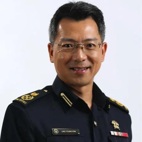
DC Ling Young Ern
Singapore Civil Defense Force, Singapore
Deputy Commissioner (Operations and Resilience)
Young Ern Ling, SCDF's Deputy Commissioner of Operations and Resilience, oversees strategic direction and operational effectiveness for emergency response, disaster management, and ensuring the organisation’s ability to handle crises.
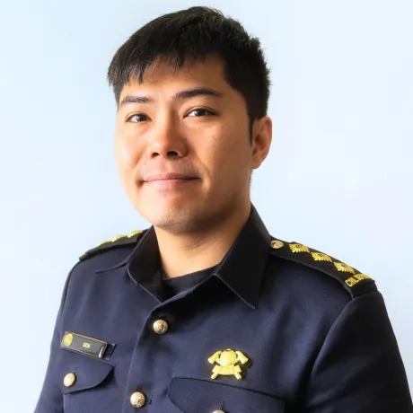
Dion Ng Wei Jie
Singapore Civil Defence Force, Singapore
Staff Officer Ops Development (Infrastructure) Operations Department
Dion Ng is an SCDF officer enhancing emergency response through operational innovation and advanced terrain mapping.
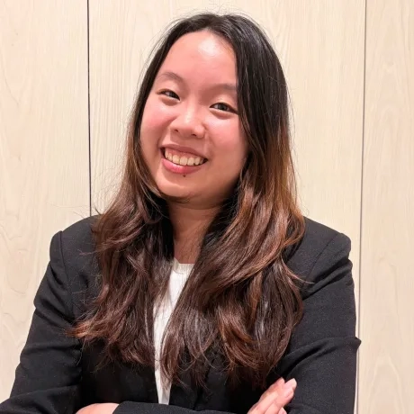
Jiang Wan Qi
HTX, Singapore
Project Manager, HTX
Wan Qi is a project manager at HTX, leading the Operations Terrain Mapping 2 Project to enhance emergency response with GIS technology.
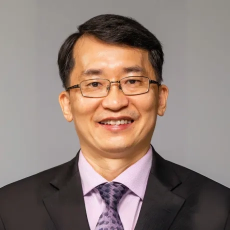
Lim Soon Chia
Jurong Town Corporation, Singapore
Chief Digital Officer
Mr. Lim Soon Chia, leads JTC's digitalisation journey, overseeing infrastructure, cybersecurity, app development, and data analytics.
Geraldine Yan
National University of Singapore, Singapore
Head, Enterprise Management
Strategic leader with extensive experience in business development, stakeholder management, and operational excellence.
Stacey Liang
Housing & Development Board, Singapore
Manager (Geospatial Information Systems)
Stacey is a GIS professional specialising in geospatial automation, data integrity, and interagency collaboration in the built environment sector.
Elizabeth How
Housing & Development Board, Singapore
Deputy Director, Geospatial Information Systems
Elizabeth is a seasoned ICT and GIS professional leading geospatial initiatives, driving adoption, and ensuring data integrity in her organization
William Wong
Maritime and Port Authority of Singapore , Singapore
Deputy Director of the Emergency Preparedness (EP) Department
William is responsible for leading the formulation and implementation strategies and policies related to maritime emergencies and business continuity planning during crises and national emergencies.
Lawrence Chew
Maritime and Port Authority of Singapore , Singapore
Engineer Digital Twin
Lawrence supports the development and integration of advanced geospatial data systems, bridging the gap between backend data pipelines and frontend visualisation interfaces.
Sharon Gin
Esri Singapore
Head, Solutions Engineering
Developing the geospatial landscape in utilities and the built environment.
Lau Kai Ying
Esri Singapore
Solutions Consultant
Creating data-driven solutions for the built environment
Abel Saw
Esri Singapore
Solutions Consultant
Delivering strategic geospatial solutions for national security
Terh Shin Huoy
Esri Singapore, Singapore
Solutions Consultant
Built environment solution consultant
Lee Kum Cheong
Esri Singapore
Solutions Consultant
Leslie Wong
Esri South Asia, Singapore
Managing Director
With a career spanning two decades and three countries, Leslie has worked tirelessly to encourage and inspire others to use geographic insight to make a positive difference, establishing a reputation as one of the region’s most respected GIS leaders.
Joe Lee
Esri Singapore
Chief Executive Officer
Working with data and complex system integrations to inform nation-building applications of GIS.


